Transport Functions
Port
Multimodal
Hub Profile
Place type
Local administrative seat
Region
Bavaria
Population
4,419
Time zone
Europe/Berlin
Elevation
470 m
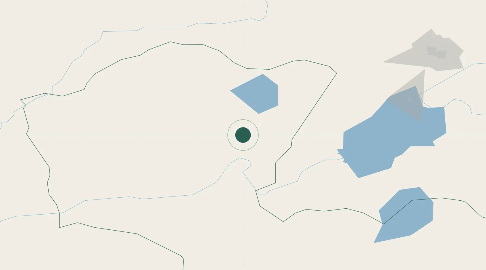
Location
Nearby Logistics Neighbours
Cities
- 1Schondorf am Ammersee54 km
- 2Zabaykal'sk164 km
- 3Manzhouli165 km
- 4Adelschlag223 km
- 5Foremost290 km
Ports
- 1Jinzhou Wan1017 km
- 2Huludao Gang1018 km
- 3Qinhuangdao1057 km
- 4Yingkou1066 km
- 5Bayuquan1098 km
Airports
- 1Choibalsan Airport102 km
- 2Manzhouli Xijiao Airport161 km
- 3Chindant Air Base178 km
- 4Step Air Base232 km
- 5Krasnokamensk Airport232 km
DatabookThe Record of Consolidated Knowledge
Germany beyond logistics?