Free Trade Zone · Pakistan

Gwadar Free Zone Under Development
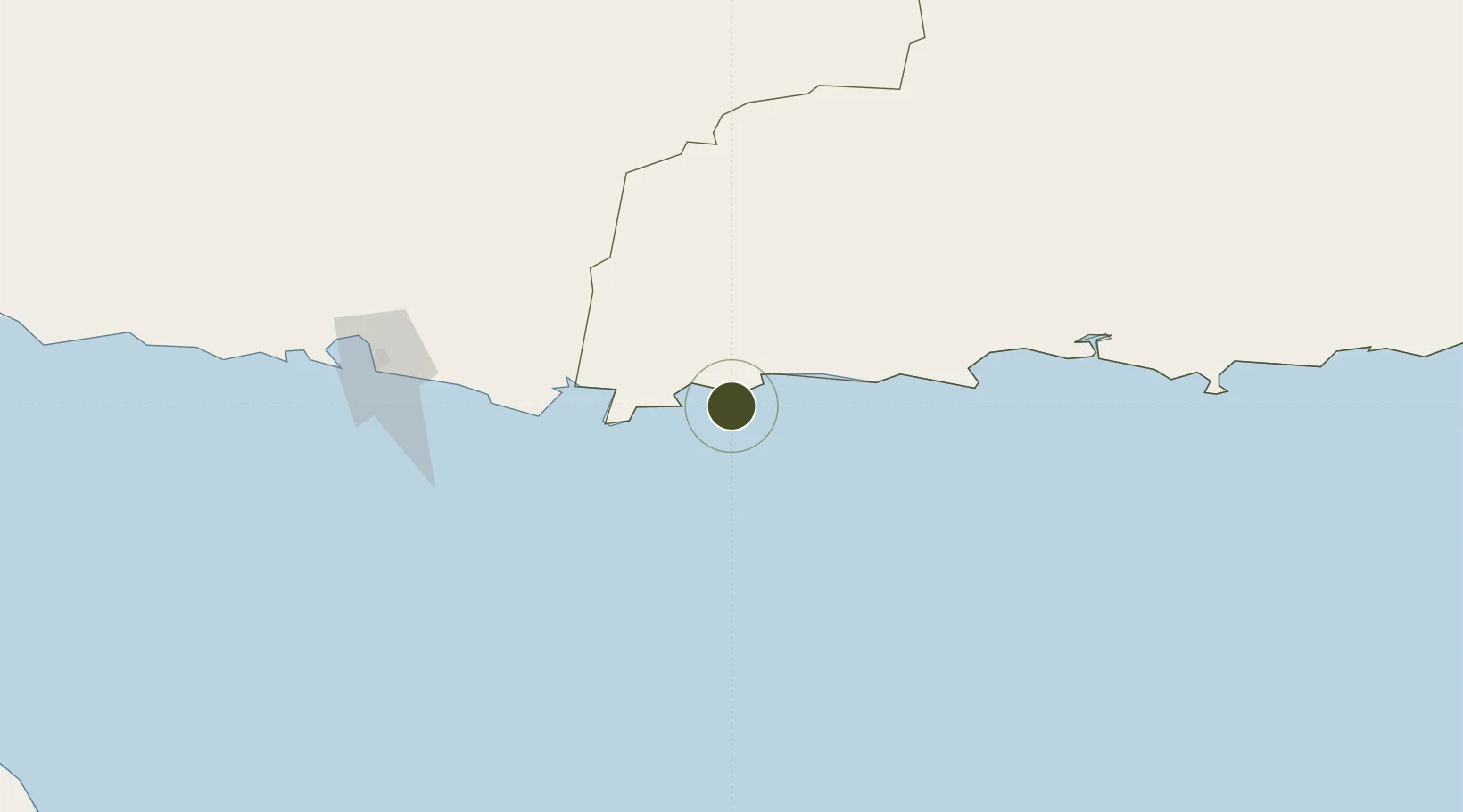
25.1082°, 62.3363°
922 ha
Zone area
4.6 km
Nearest port
26.6 km
Nearest airport

Gateway access

Nearest neighbours — logibook spatial index (haversine) over the source coordinates

Zone profile

Zone type
Free Trade Zone
Open Zone Map
Region
Baluchistan
Open Zone Map
Status
Under Development
Open Zone Map
Management
Public
Open Zone Map
Operator
GPA, GIEDA, and EPZA
Open Zone Map
Legal framework
Special Economic Zones Act, 2012; CPEC Memorandum of Understanding
Open Zone Map

Location

Location of ozm-3048
Natural Earth 10m (public domain) · Baluchistan · ozm-3048 · 25.11, 62.34GoogleOSMYandex

Nearby Logistics Neighbours

Ports
  1. 1Gwadar5 km
  2. 2Chah Bahar174 km
  3. 3Qalhat Lng Terminal402 km
  4. 4Mina Qabus414 km
  5. 5Mina Al Fahl420 km
Nearest neighbours — logibook spatial index (haversine) over the source coordinates
Airports
  1. 1New Gwadar International Airport27 km
  2. 2Jiwani Airport (INACTIVE}54 km
  3. 3Pasni Airport104 km
  4. 4Turbat International Airport120 km
  5. 5Chabahar Konarak International Airport200 km
Nearest neighbours — logibook spatial index (haversine) over the source coordinates
Cities
  1. 1Chah Bahar174 km
  2. 2Sur402 km
  3. 3Qalhat404 km
  4. 4Port Sultan410 km
  5. 5Mina Sultan Qaboos, Muscat418 km
Nearest neighbours — logibook spatial index (haversine) over the source coordinates
Trade Zones
  1. 1Chābahār Trade Industrial Free Zone174 km
  2. 2Mirjaveh Special Economic Zone443 km
  3. 3Jazmurian Special Economic Zone444 km
  4. 4Hub Special Economic Zone448 km
  5. 5Knowledge Oasis Muscat456 km
Nearest neighbours — logibook spatial index (haversine) over the source coordinates
DatabookThe Record of Consolidated Knowledge
Pakistan beyond logistics?
Browse databook

All Sources

Trade ZonesOpen Zone Map
CC BY
Portsthe NGA World Port Index
Public domain (US gov)
AirportsOurAirports
Public domain
LocationsUN/LOCODE
UN/LOCODE — free
← Pakistan trade zones