Transport Functions
Port
Airport
Hub Profile
Logistics facilities
1
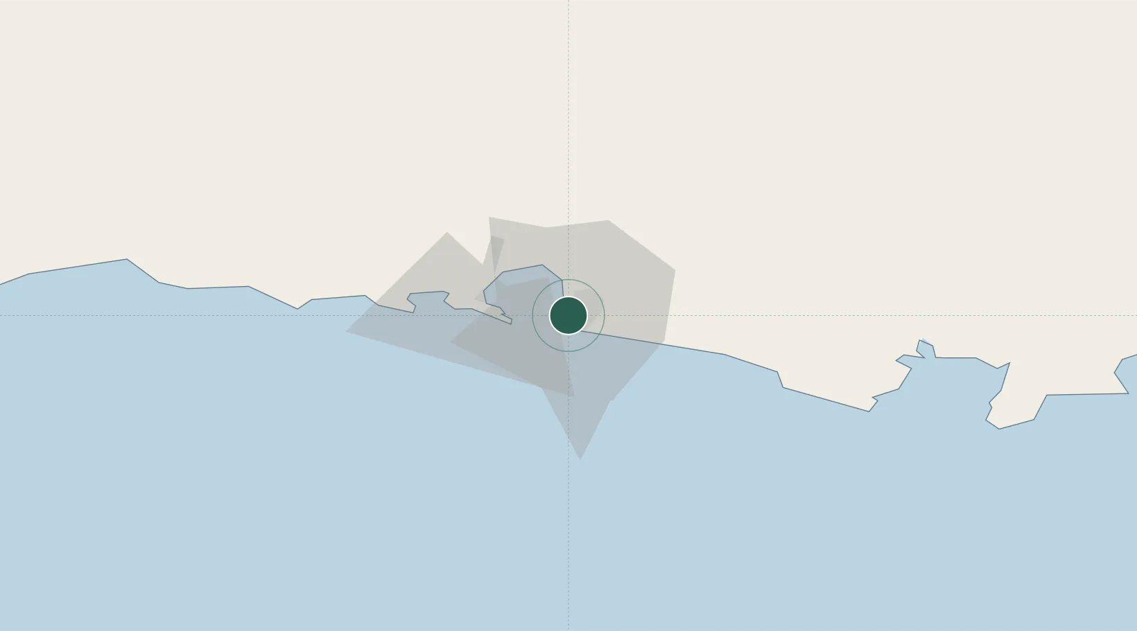
Location
Nearby Logistics Neighbours
Cities
- 1Port Sultan276 km
- 2Fahal281 km
- 3Mina Sultan Qaboos, Muscat282 km
- 4Mina' al Fahl283 km
- 5Qalhat317 km
Ports
- 1Gwadar170 km
- 2Mina Qabus278 km
- 3Mina Al Fahl283 km
- 4Jask289 km
- 5Qalhat Lng Terminal318 km
Airports
Trade Zones
- 1Chābahār Trade Industrial Free Zone1 km
- 2Gwadar Free Zone174 km
- 3Jazmurian Special Economic Zone302 km
- 4Knowledge Oasis Muscat315 km
- 5Khazaen Economic City345 km
DatabookThe Record of Consolidated Knowledge
Iran beyond logistics?