Free Trade Zone · Iran

Mirjaveh Special Economic Zone Under Development
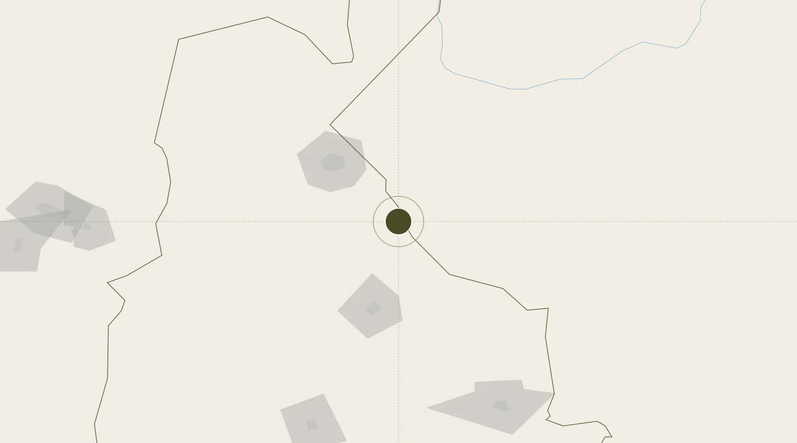
29.0075°, 61.4457°
3 ha
Zone area
424.0 km
Nearest port
73.8 km
Nearest airport

Gateway access

Nearest neighbours — logibook spatial index (haversine) over the source coordinates

Zone profile

Zone type
Free Trade Zone
Open Zone Map
Region
Sistan and Baluchestan
Open Zone Map
Status
Under Development
Open Zone Map
Management
Public-Private Partnership
Open Zone Map
Operator
Free Zones High Council
Open Zone Map
Legal framework
Law on the Administration of Free Trade-Industrial Zones of the Islamic Republic of Iran
Open Zone Map

Location

Location of ozm-2518
Natural Earth 10m (public domain) · Sistan and Baluchestan · ozm-2518 · 29.01, 61.45GoogleOSMYandex

Nearby Logistics Neighbours

Ports
  1. 1Chah Bahar424 km
  2. 2Gwadar439 km
  3. 3Jask522 km
  4. 4Jazireh-Ye Hormoz534 km
  5. 5Bandar Abbas555 km
Nearest neighbours — logibook spatial index (haversine) over the source coordinates
Airports
  1. 1Zahedan International Airport74 km
  2. 2Iranshahr Airport209 km
  3. 3Zabol Airport233 km
  4. 4Dalbandin Airport288 km
  5. 5Bam Airport291 km
Nearest neighbours — logibook spatial index (haversine) over the source coordinates
Cities
  1. 1Chah Bahar419 km
  2. 2Quoin Island555 km
  3. 3Shahid Bahonar555 km
  4. 4Bandar Abbas561 km
  5. 5Shahid Rajaee Pt/Bandar Abbas568 km
Nearest neighbours — logibook spatial index (haversine) over the source coordinates
Trade Zones
  1. 1Saindak Export Processing Zone31 km
  2. 2Zaranj Special Economic Zone221 km
  3. 3Arg-e-Jadid Special Economic Zone290 km
  4. 4Jazmurian Special Economic Zone320 km
  5. 5Helmand Special Economic Zone398 km
Nearest neighbours — logibook spatial index (haversine) over the source coordinates
DatabookThe Record of Consolidated Knowledge
Iran beyond logistics?
Browse databook

All Sources

Trade ZonesOpen Zone Map
CC BY
Portsthe NGA World Port Index
Public domain (US gov)
AirportsOurAirports
Public domain
LocationsUN/LOCODE
UN/LOCODE — free
← Iran trade zones