Diversified Zone · Iran
Jazmurian Special Economic Zone Under Development
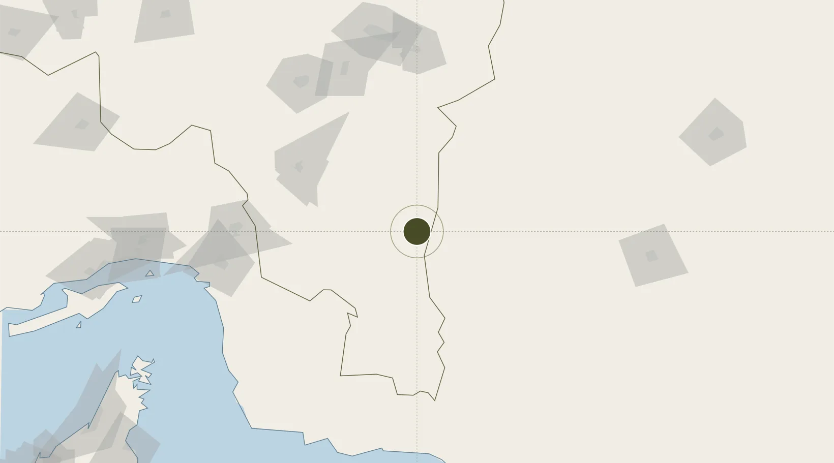
27.4306°, 58.7137°
1,200 ha
Zone area
220.9 km
Nearest port
176.2 km
Nearest airport
Gateway access
Zone profile
Zone type
Diversified Zone
Region
Kerman
Status
Under Development
Management
Private
Operator
Kerman Investment Company
Legal framework
Law of Establishment and Administration of Special Economic Zones of Islamic Republic of Iran
Location
Nearby Logistics Neighbours
Ports
- 1Jask221 km
- 2Jazireh-Ye Hormoz227 km
- 3Bandar Abbas250 km
- 4Bandar-E Shahid Rejaie264 km
- 5Khawr Khasab281 km
Airports
- 1Jiroft Airport176 km
- 2Bam Airport186 km
- 3Iranshahr Airport199 km
- 4Jask Airport217 km
- 5Bandar Abbas International Airport232 km
Cities
- 1Quoin Island237 km
- 2Shahid Bahonar251 km
- 3Bandar Abbas257 km
- 4Shahid Rajaee Pt/Bandar Abbas264 km
- 5Kuvei274 km
DatabookThe Record of Consolidated Knowledge
Iran beyond logistics?