Large airport · Pakistan
New Gwadar International AirportOPGD
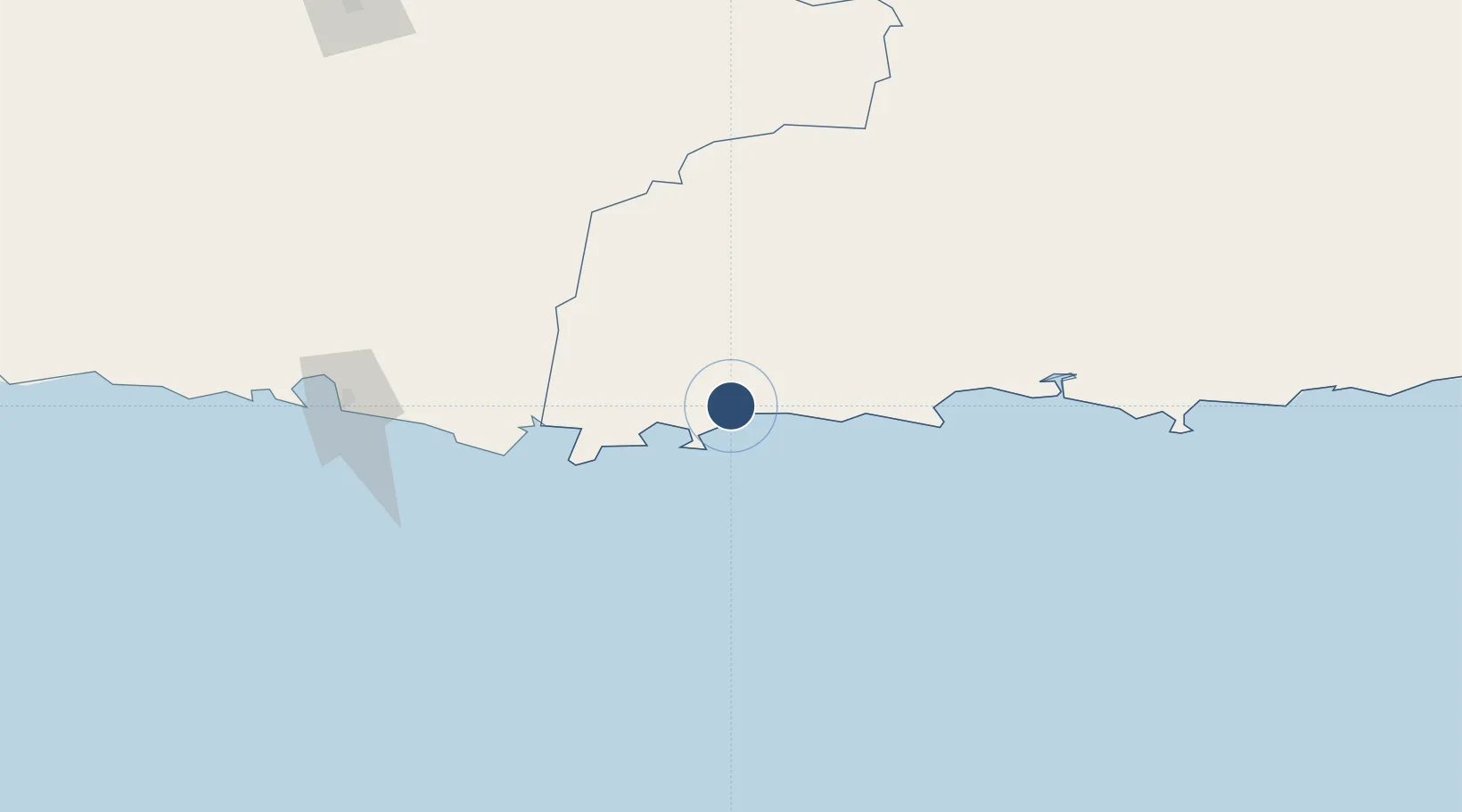
25.2967°, 62.4988°
12,000 ft
Longest runway
1
Runways
61 ft
Elevation
Runway & Layout

Navaids
GD NDB Gwadar 303 kHz
Runways · 1
| Runway | Dimensions | Surface | True heading | Lit |
|---|---|---|---|---|
| 07/25 | 12,000 × 148ft | Concrete | 069° | ✓ |
Airport Specifications
IATA code
GWD
ICAO code
OPGW
Airport class
Large airport
Scheduled service
Yes
Runway surface
Concrete
Served city
Gurandani
Location
Nearby Logistics Neighbours
Airports
- 1Jiwani Airport (INACTIVE}74 km
- 2Pasni Airport85 km
- 3Turbat International Airport93 km
- 4Chabahar Konarak International Airport213 km
- 5Panjgur Airport246 km
Cities
- 1Chah Bahar189 km
- 2Sur429 km
- 3Qalhat430 km
- 4Port Sultan434 km
- 5Mina Sultan Qaboos, Muscat441 km
Ports
- 1Gwadar27 km
- 2Chah Bahar189 km
- 3Qalhat Lng Terminal428 km
- 4Mina Qabus437 km
- 5Mina Al Fahl443 km
Trade Zones
- 1Gwadar Free Zone27 km
- 2Chābahār Trade Industrial Free Zone188 km
- 3Mirjaveh Special Economic Zone426 km
- 4Hub Special Economic Zone432 km
- 5Duddar Export Processing Zone441 km
DatabookThe Record of Consolidated Knowledge
Pakistan beyond logistics?