Large airport · Pakistan
Turbat International AirportOPTU
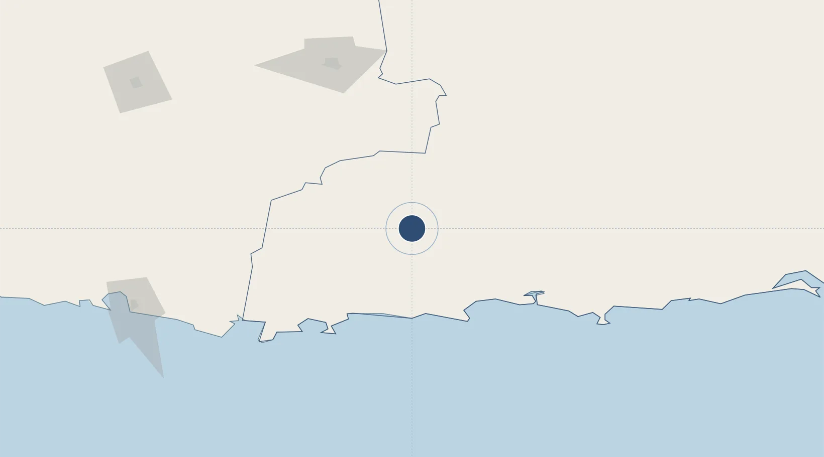
25.9848°, 63.0289°
9,022 ft
Longest runway
2
Runways
498 ft
Elevation
Runway & Layout

Radio Frequencies
TWR
118.7 MHz
GND
121.8 MHz
Navaids
TU NDB Turbat 237 kHz
Runways · 2
| Runway | Dimensions | Surface | True heading | Lit |
|---|---|---|---|---|
| 08R/26L | 9,022 × 148ft | Asphalt | — | ✓ |
| 08L/26R | 6,000 × 98ft | Asphalt | 083° | ✓ |
Airport Specifications
IATA code
TUK
ICAO code
OPTU
Airport class
Large airport
Scheduled service
Yes
Runway surface
Asphalt
Served city
Turbat
Location
Nearby Logistics Neighbours
Airports
- 1Pasni Airport84 km
- 2New Gwadar International Airport93 km
- 3Panjgur Airport154 km
- 4Jiwani Airport (INACTIVE}160 km
- 5Iranshahr Airport268 km
Cities
- 1Chah Bahar253 km
- 2Karachi Container Terminal416 km
- 3Kiamari416 km
- 4Karachi420 km
- 5Karachi Freight Terminal421 km
Ports
- 1Gwadar120 km
- 2Chah Bahar255 km
- 3Karachi419 km
- 4Muhamamad Bin Qasim455 km
- 5Mina Qabus519 km
Trade Zones
- 1Gwadar Free Zone120 km
- 2Chābahār Trade Industrial Free Zone252 km
- 3Mirjaveh Special Economic Zone371 km
- 4Duddar Export Processing Zone378 km
- 5Hub Special Economic Zone392 km
DatabookThe Record of Consolidated Knowledge
Pakistan beyond logistics?