Seaport · Pakistan

GwadarPKGWD

25.1333°, 62.3000°
14.0 m
Channel depth
16.7
Port liner connectivity

Channel & Berth Profile

SEA LEVEL (CD)CHANNEL BEDChannel · 14.0 mCargo pier · 14.5 mAnchorage · 15.0 m
NGA World Port Index

Pilotage, Tugs & Services

Tug assistanceYES
MedicalYES
NGA World Port Index

Facilities & Capabilities

Container
Ro-Ro
Liquid bulk
Dry bulk
Oil terminal
Break bulk
Dry dock
Repairs
Bunkering
Rail link
Dangerous cargo
ISPS security
NGA World Port Index

Harbour Specifications

Harbour size
Medium
NGA World Port Index
Harbour type
Coastal (Natural)
NGA World Port Index
Shelter
Fair
NGA World Port Index
Water body
Arabian Sea; Indian Ocean
NGA World Port Index
Tidal range
1.7 m
NGA World Port Index

Liner Connectivity

16.7
PLSCI

Port Liner Shipping Connectivity Index for Gwadar, as published by UNCTAD for the latest available quarter. Higher values indicate stronger scheduled liner-shipping integration.

Shown relative to the highest per-port PLSCI in the dataset (1,657.9).
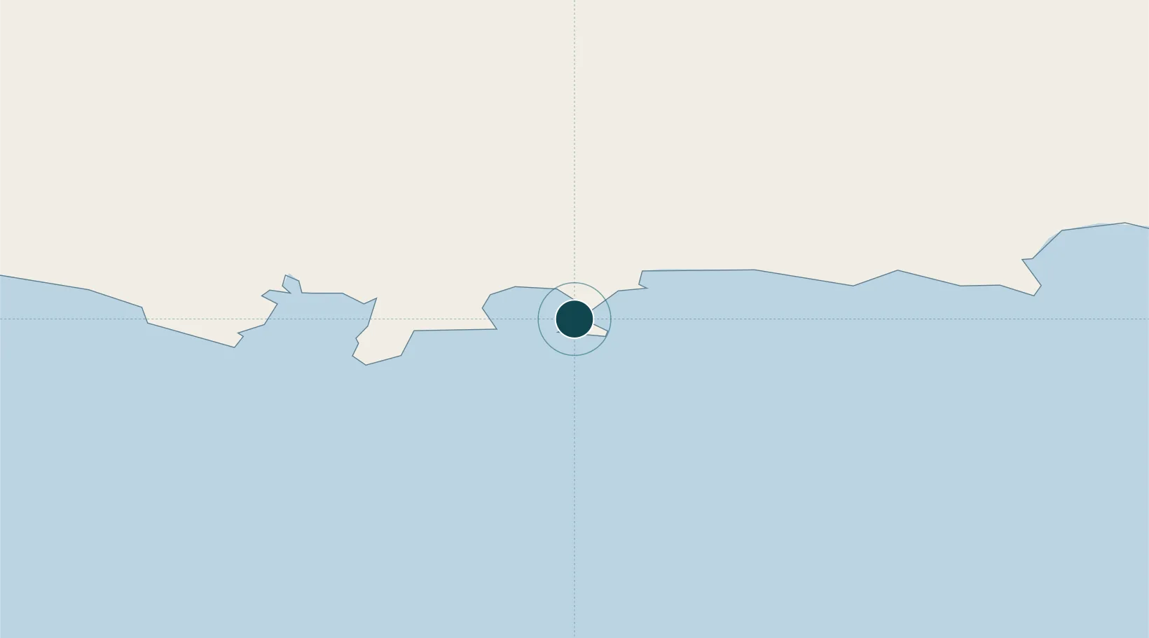
UNCTAD · Port Liner Shipping Connectivity Index

Location

Location of PKGWD
Natural Earth 10m (public domain) · Sistan and Baluchestan · PKGWD · 25.13, 62.30GoogleOSMYandex

Nearby Logistics Neighbours

Ports
  1. 1Chah Bahar170 km
  2. 2Qalhat Lng Terminal401 km
  3. 3Mina Qabus412 km
  4. 4Mina Al Fahl418 km
  5. 5Jask459 km
Nearest neighbours — logibook spatial index (haversine) over the source coordinates
Cities
  1. 1Chah Bahar170 km
  2. 2Sur402 km
  3. 3Qalhat403 km
  4. 4Port Sultan408 km
  5. 5Mina Sultan Qaboos, Muscat416 km
Nearest neighbours — logibook spatial index (haversine) over the source coordinates
Airports
  1. 1New Gwadar International Airport27 km
  2. 2Jiwani Airport (INACTIVE}50 km
  3. 3Pasni Airport107 km
  4. 4Turbat International Airport120 km
  5. 5Chabahar Konarak International Airport196 km
Nearest neighbours — logibook spatial index (haversine) over the source coordinates
Trade Zones
  1. 1Gwadar Free Zone5 km
  2. 2Chābahār Trade Industrial Free Zone170 km
  3. 3Mirjaveh Special Economic Zone439 km
  4. 4Jazmurian Special Economic Zone439 km
  5. 5Hub Special Economic Zone452 km
Nearest neighbours — logibook spatial index (haversine) over the source coordinates
DatabookThe Record of Consolidated Knowledge
Pakistan beyond logistics?
Browse databook

All Sources

Portsthe NGA World Port Index
Public domain (US gov)
Logistics performanceUNCTAD
CC BY 3.0 IGO
AirportsOurAirports
Public domain
LocationsUN/LOCODE
UN/LOCODE — free
Trade Zonesthe World Bank SEZ database
CC BY 4.0
Trade ZonesOpen Zone Map
CC BY
← Pakistan ports