Export Processing Zone · North Korea
Chōngjin Economic Development Zone Active
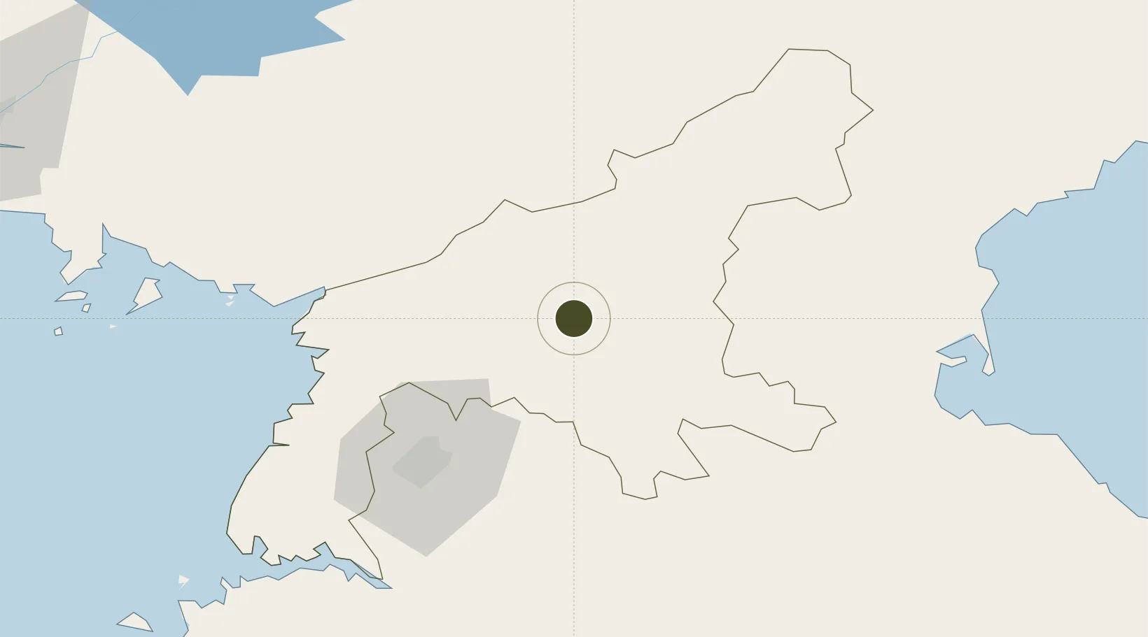
39.4833°, 126.2333°
540 ha
Zone area
98.9 km
Nearest port
23.2 km
Nearest airport
Gateway access
Zone profile
Zone type
Export Processing Zone
Region
P'yŏngan-namdo
Status
Active
Management
Public
Operator
Ministry of External Economic Relations
Legal framework
Labour Regulations for Foreign-Funded Enterprises in FETZ (Adopted as decision NO.8 of the Administration Council of the DPRK dated on December 3, 1993) The Law of the Democratic People's Republic of Korea on the Rason Economic and Trade Zone; North Korea
Location
Nearby Logistics Neighbours
Ports
- 1Kyomip'o99 km
- 2Wonsan110 km
- 3Nampo112 km
- 4Hungnam125 km
- 5Haeju Hang171 km
Airports
- 1Pukchang Air Base23 km
- 2Sunchon Air Base31 km
- 3Pyongyang Sunan International Airport56 km
- 4Uthachi Highway Strip Airport73 km
- 5Koksan Air Base94 km
Cities
- 1Songnim97 km
- 2Samcha do131 km
- 3Yeoncheon-gun142 km
- 4Panjang148 km
- 5Changdianhekou160 km
DatabookThe Record of Consolidated Knowledge
North Korea beyond logistics?