Export Processing Zone · North Korea
Chōngnam Industrial Development Zone Active
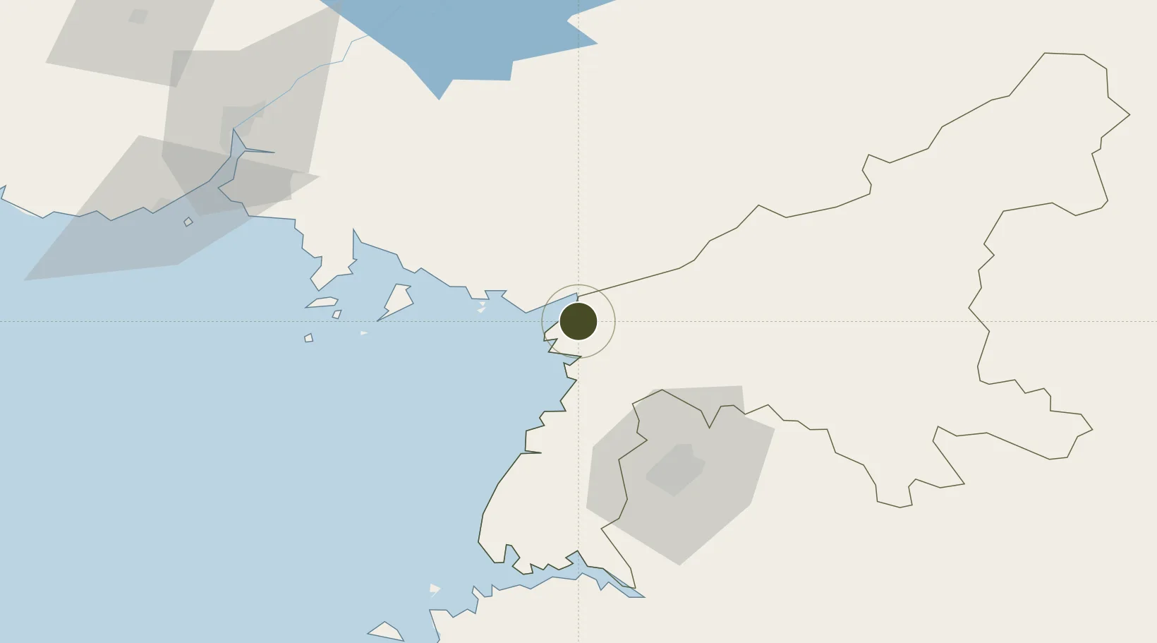
39.4948°, 125.4510°
200 ha
Zone area
85.9 km
Nearest port
35.5 km
Nearest airport
Gateway access
Zone profile
Zone type
Export Processing Zone
Region
P'yŏngan-namdo
Status
Active
Management
Public
Operator
Ministry of External Economic Relations
Legal framework
Labour Regulations for Foreign-Funded Enterprises in FETZ (Adopted as decision NO.8 of the Administration Council of the DPRK dated on December 3, 1993) The Law of the Democratic People's Republic of Korea on the Rason Economic and Trade Zone; North Korea
Location
Nearby Logistics Neighbours
Ports
- 1Kyomip'o86 km
- 2Nampo87 km
- 3Dandong117 km
- 4Haeju Hang168 km
- 5Wonsan176 km
Airports
- 1Pyongyang Sunan International Airport36 km
- 2Sunchon Air Base39 km
- 3Kwaksan Air Base39 km
- 4Pukchang Air Base44 km
- 5Uthachi Highway Strip Airport72 km
Cities
- 1Samcha do64 km
- 2Songnim82 km
- 3Dandong114 km
- 4Panjang115 km
- 5Changdianhekou117 km
DatabookThe Record of Consolidated Knowledge
North Korea beyond logistics?