UN/LOCODE hub · South Korea
KRYCN

Yeoncheon-gun

38.9000°, 127.7000°
2
Transport functions

Transport Functions

Rail
Road
UN/LOCODE

Hub Profile

Region
41
GeoNames

Location

Location of KRYCN
Natural Earth 10m (public domain) · 41 · KRYCN · 38.90, 127.70GoogleOSMYandex

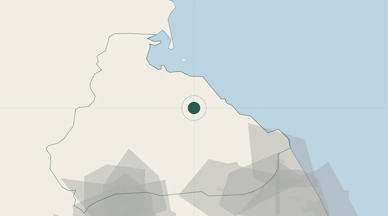
Nearby Logistics Neighbours

Cities
  1. 1Inje-gun47 km
  2. 2Cheorwon-gun84 km
  3. 3Hwacheon-gun89 km
  4. 4Goseong-gun89 km
  5. 5Yanggu-gun92 km
Nearest neighbours — logibook spatial index (haversine) over the source coordinates
Ports
  1. 1Wonsan37 km
  2. 2Hungnam104 km
  3. 3Sokch'o Hang110 km
  4. 4Kyomip'o181 km
  5. 5Inchon185 km
Nearest neighbours — logibook spatial index (haversine) over the source coordinates
Airports
  1. 1Wonsan Kalma International Airport35 km
  2. 2Sondok Airport96 km
  3. 3Koksan Air Base98 km
  4. 4Koksan 2 Highway Strip100 km
  5. 5Toksan Air Base122 km
Nearest neighbours — logibook spatial index (haversine) over the source coordinates
Trade Zones
  1. 1Hyondong Industrial Development Zone37 km
  2. 2Wōnsan-Mount Kumgang Tourist Zone38 km
  3. 3Sinpyōng Tourist Development Zone87 km
  4. 4Hō­ngnam Industrial Development Zone106 km
  5. 5Gangwon-do Regulation-Free Zone113 km
Nearest neighbours — logibook spatial index (haversine) over the source coordinates
DatabookThe Record of Consolidated Knowledge
South Korea beyond logistics?
Browse databook

All Sources

LocationsUN/LOCODE
UN/LOCODE — free
Portsthe NGA World Port Index
Public domain (US gov)
AirportsOurAirports
Public domain
Trade Zonesthe World Bank SEZ database
CC BY 4.0
Trade ZonesOpen Zone Map
CC BY
← South Korea locations