Medium airport · North Korea

Pukchang Air BaseKP-0022
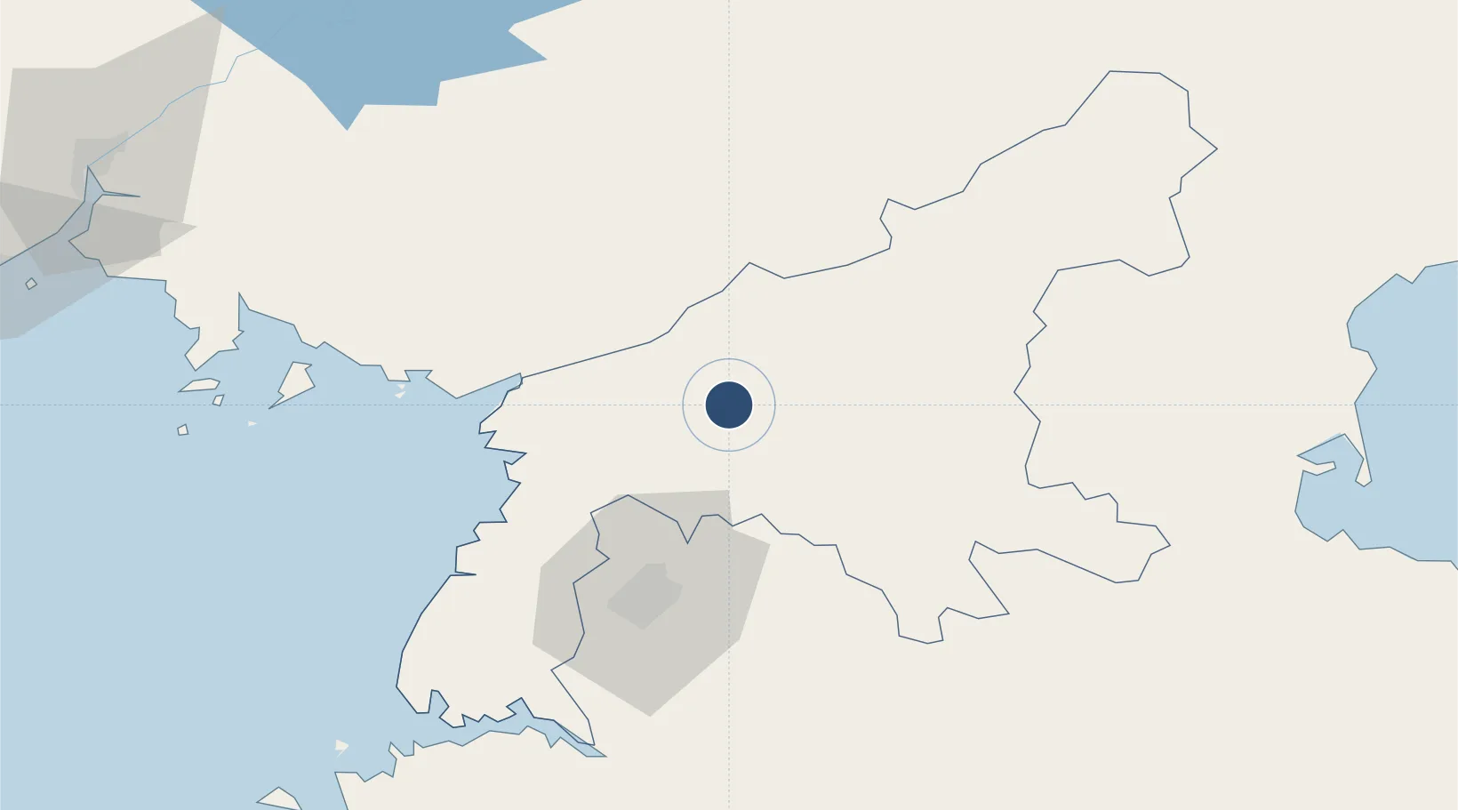
39.5050°, 125.9640°
8,150 ft
Longest runway
1
Runways
217 ft
Elevation

Runway & Layout

Pukchang Air Base runway & taxiway layout
Runway & taxiway layout — OpenStreetMap (ODbL) / OurAirports

Runways · 1

RunwayDimensions SurfaceTrue headingLit
14/32 8,150 × 164ft Concrete
OurAirports

Airport Specifications

ICAO code
ZKPN
OurAirports
Airport class
Medium airport
OurAirports
Scheduled service
No
OurAirports
Runway surface
Concrete
OurAirports
Served city
Sunchon
OurAirports

Location

Location of KP-0022
Natural Earth 10m (public domain) · P'yŏngan-namdo · KP-0022 · 39.51, 125.96GoogleOSMYandex

Nearby Logistics Neighbours

Airports
  1. 1Sunchon Air Base12 km
  2. 2Pyongyang Sunan International Airport40 km
  3. 3Uthachi Highway Strip Airport67 km
  4. 4Kwaksan Air Base77 km
  5. 5Hwangju Airbase96 km
Nearest neighbours — logibook spatial index (haversine) over the source coordinates
Cities
  1. 1Songnim88 km
  2. 2Samcha do108 km
  3. 3Panjang135 km
  4. 4Changdianhekou142 km
  5. 5Dandong151 km
Nearest neighbours — logibook spatial index (haversine) over the source coordinates
Ports
  1. 1Kyomip'o91 km
  2. 2Nampo100 km
  3. 3Wonsan133 km
  4. 4Hungnam146 km
  5. 5Dandong159 km
Nearest neighbours — logibook spatial index (haversine) over the source coordinates
DatabookThe Record of Consolidated Knowledge
North Korea beyond logistics?
Browse databook

All Sources

AirportsOurAirports
Public domain
Portsthe NGA World Port Index
Public domain (US gov)
LocationsUN/LOCODE
UN/LOCODE — free
Trade Zonesthe World Bank SEZ database
CC BY 4.0
Trade ZonesOpen Zone Map
CC BY
InfrastructureOpenStreetMap
ODbL 1.0
← North Korea airports