Channel & Berth Profile
Pilotage, Tugs & Services
Pilotage compulsoryYES
Pilotage availableYES
Tug assistanceYES
Shore powerYES
Potable waterYES
MedicalYES
Garbage disposalYES
Facilities & Capabilities
Container—
Ro-Ro—
Liquid bulk—
Dry bulk—
Oil terminal—
Break bulk—
Dry dock—
RepairsNO
Bunkering—
Rail linkYES
Dangerous cargo—
ISPS security—
Harbour Specifications
Harbour size
Small
Harbour type
Coastal (Breakwater)
Shelter
Fair
Water body
Sea of Japan; North Pacific Ocean
Tidal range
1 m
Pilotage
Yes
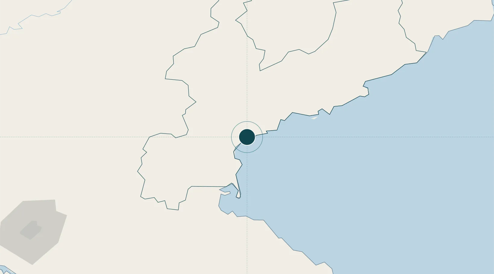
Location
Nearby Logistics Neighbours
Ports
- 1Wonsan76 km
- 2Kimch'aek163 km
- 3Sokch'o Hang201 km
- 4Kyomip'o211 km
- 5Nampo228 km
Cities
- 1Sinpo61 km
- 2Riwon102 km
- 3Yeoncheon-gun104 km
- 4Tanchon129 km
- 5Inje-gun136 km
Airports
- 1Sondok Airport16 km
- 2Toksan Air Base18 km
- 3Changjin Air Force Base66 km
- 4Wonsan Kalma International Airport75 km
- 5Hwangsuwon Airbase105 km
DatabookThe Record of Consolidated Knowledge
North Korea beyond logistics?