Specialized Zone · North Korea
Sinpyōng Tourist Development Zone Active
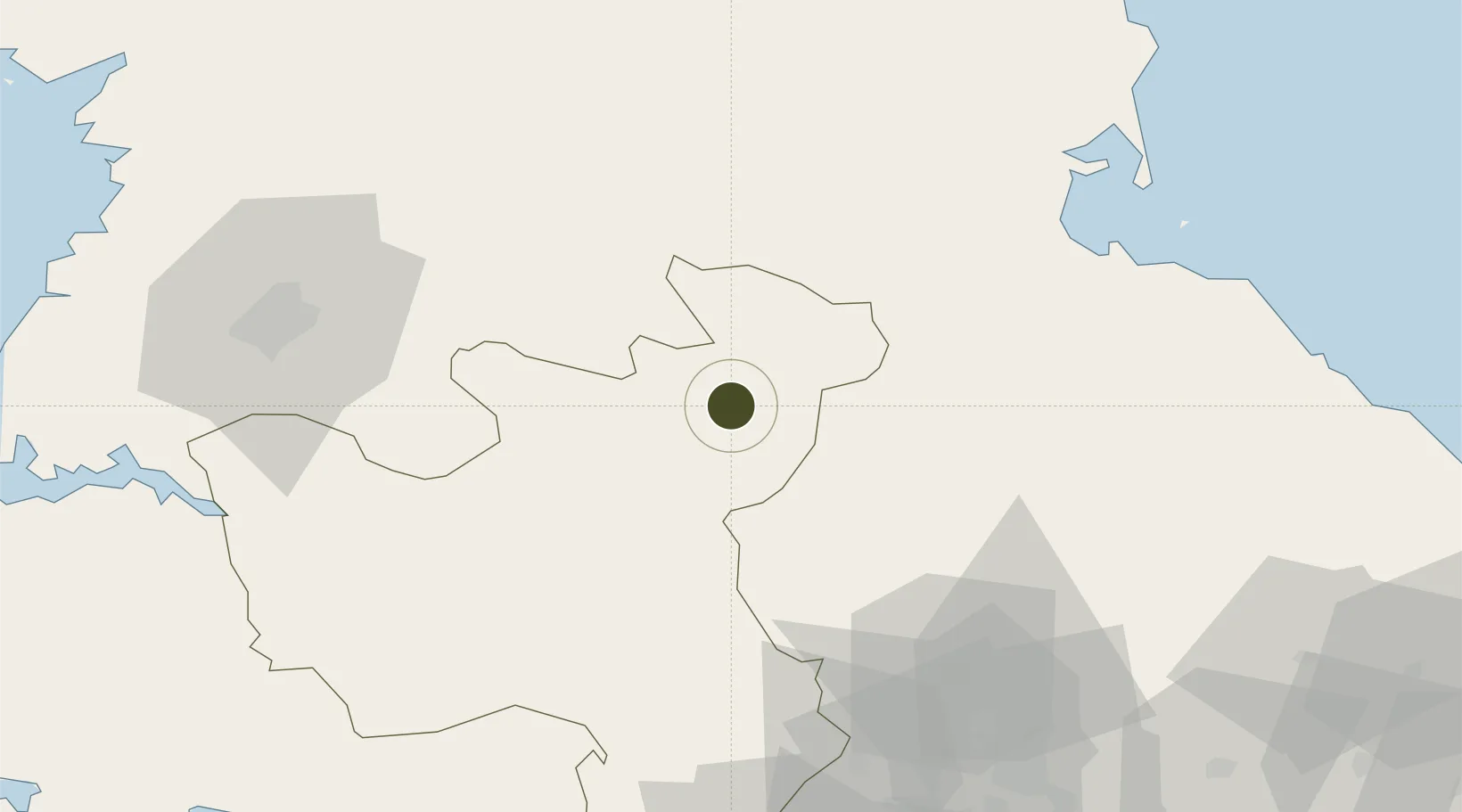
38.8562°, 126.6948°
810 ha
Zone area
73.8 km
Nearest port
20.0 km
Nearest airport
Gateway access
Zone profile
Zone type
Specialized Zone
Specialization
Tourism
Region
Hwanghae-bukto
Status
Active
Management
Public
Operator
Ministry of External Economic Relations
Legal framework
Labour Regulations for Foreign-Funded Enterprises in FETZ (Adopted as decision NO.8 of the Administration Council of the DPRK dated on December 3, 1993) The Law of the Democratic People's Republic of Korea on the Rason Economic and Trade Zone; North Korea
Location
Nearby Logistics Neighbours
Ports
- 1Wonsan74 km
- 2Kyomip'o94 km
- 3Nampo113 km
- 4Haeju Hang129 km
- 5Hungnam135 km
Airports
- 1Koksan Air Base20 km
- 2Koksan 2 Highway Strip23 km
- 3Uthachi Highway Strip Airport76 km
- 4Wonsan Kalma International Airport77 km
- 5Hwangju Airbase82 km
Cities
- 1Cheorwon-gun81 km
- 2Yeoncheon-gun87 km
- 3Songnim97 km
- 4Panmoonjeom103 km
- 5Munsan/Paju112 km
DatabookThe Record of Consolidated Knowledge
North Korea beyond logistics?