UN/LOCODE hub · China
CNCDH

Changdianhekou

40.4167°, 124.8000°
1
Transport functions

Transport Functions

Port
UN/LOCODE

Hub Profile

Place type
Populated place
GeoNames
Region
Liaoning
GeoNames
Time zone
Asia/Shanghai
GeoNames
Elevation
50 m
GeoNames

Location

Location of CNCDH
Natural Earth 10m (public domain) · Liaoning · CNCDH · 40.42, 124.80GoogleOSMYandex

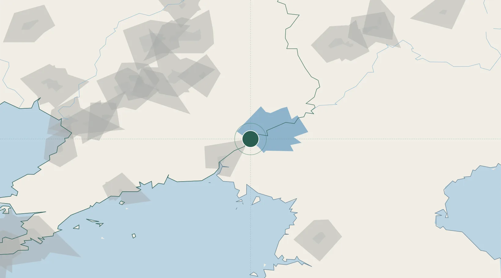
Nearby Logistics Neighbours

Cities
  1. 1Dandong48 km
  2. 2Dandong49 km
  3. 3Siping74 km
  4. 4Donggang82 km
  5. 5Garberville92 km
Nearest neighbours — logibook spatial index (haversine) over the source coordinates
Ports
  1. 1Dandong87 km
  2. 2Nampo196 km
  3. 3Kyomip'o200 km
  4. 4Yingkou219 km
  5. 5Bayuquan231 km
Nearest neighbours — logibook spatial index (haversine) over the source coordinates
Airports
  1. 1Dandong Langtou International Airport62 km
  2. 2Kwaksan Air Base81 km
  3. 3Pukchang Air Base142 km
  4. 4Sunchon Air Base145 km
  5. 5Pyongyang Sunan International Airport152 km
Nearest neighbours — logibook spatial index (haversine) over the source coordinates
Trade Zones
  1. 1Chongsu Tourist Development Zone17 km
  2. 2Sinō­iju International Economic Zone48 km
  3. 3Wunushan Economic Development Zone109 km
  4. 4Wiwōn Industrial Development Zone111 km
  5. 5Chōngnam Industrial Development Zone117 km
Nearest neighbours — logibook spatial index (haversine) over the source coordinates
DatabookThe Record of Consolidated Knowledge
China beyond logistics?
Browse databook

All Sources

LocationsUN/LOCODE
UN/LOCODE — free
Portsthe NGA World Port Index
Public domain (US gov)
AirportsOurAirports
Public domain
Trade Zonesthe World Bank SEZ database
CC BY 4.0
Trade ZonesOpen Zone Map
CC BY
← China locations