Specialized Zone · North Korea
Amnok River Economic Develpment Zone Active
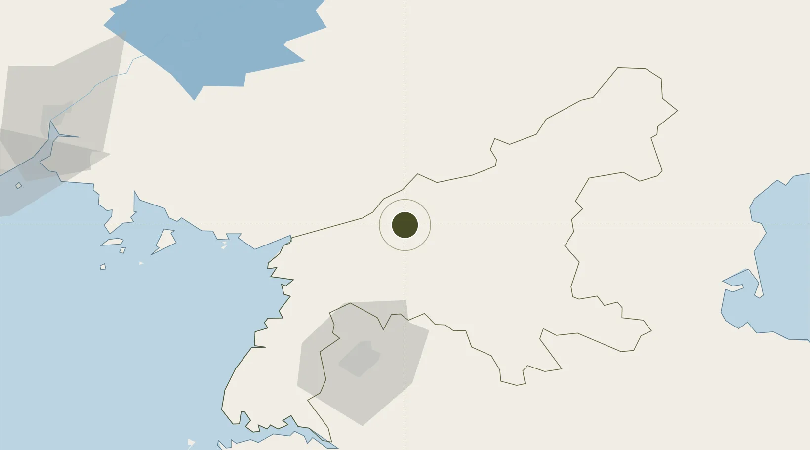
39.6300°, 125.9578°
660 ha
Zone area
104.0 km
Nearest port
13.9 km
Nearest airport
Gateway access
Zone profile
Zone type
Specialized Zone
Specialization
Tourism
Region
P'yŏngan-namdo
Status
Active
Management
Public
Operator
Ministry of External Economic Relations
Legal framework
Labour Regulations for Foreign-Funded Enterprises in FETZ (Adopted as decision NO.8 of the Administration Council of the DPRK dated on December 3, 1993) The Law of the Democratic People's Republic of Korea on the Rason Economic and Trade Zone; North Korea
Location
Nearby Logistics Neighbours
Airports
- 1Pukchang Air Base14 km
- 2Sunchon Air Base25 km
- 3Pyongyang Sunan International Airport52 km
- 4Kwaksan Air Base73 km
- 5Uthachi Highway Strip Airport81 km
Cities
- 1Songnim101 km
- 2Samcha do110 km
- 3Changdianhekou132 km
- 4Dandong145 km
- 5Panjang147 km
DatabookThe Record of Consolidated Knowledge
North Korea beyond logistics?