Free Trade Zone · Nigeria
Enyimba Economic City Under Development
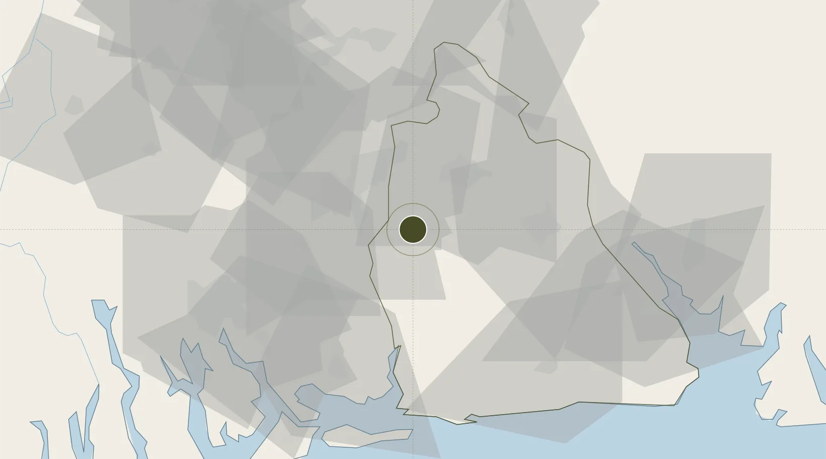
5.0243°, 7.5839°
9,464 ha
Zone area
61.2 km
Nearest port
58.9 km
Nearest airport
Gateway access
Zone profile
Zone type
Free Trade Zone
Region
Akwa Ibom
Status
Under Development
Management
Public-Private Partnership
Operator
NSEZCO, Enyimba Economic City Development Co. Ltd.
Legal framework
Section 10 (4) of the Nigeria Export Processing Zones Act No 63 of 1992
Location
Nearby Logistics Neighbours
Ports
- 1Onne61 km
- 2Okrika65 km
- 3Port Harcourt71 km
- 4Bonny79 km
- 5Calabar81 km
Airports
Cities
- 1Onne61 km
- 2Port Harcourt70 km
- 3Awka82 km
- 4Ima93 km
- 5Okono117 km
DatabookThe Record of Consolidated Knowledge
Nigeria beyond logistics?