Medium airport · Nigeria

Margaret Ekpo International AirportDNCA
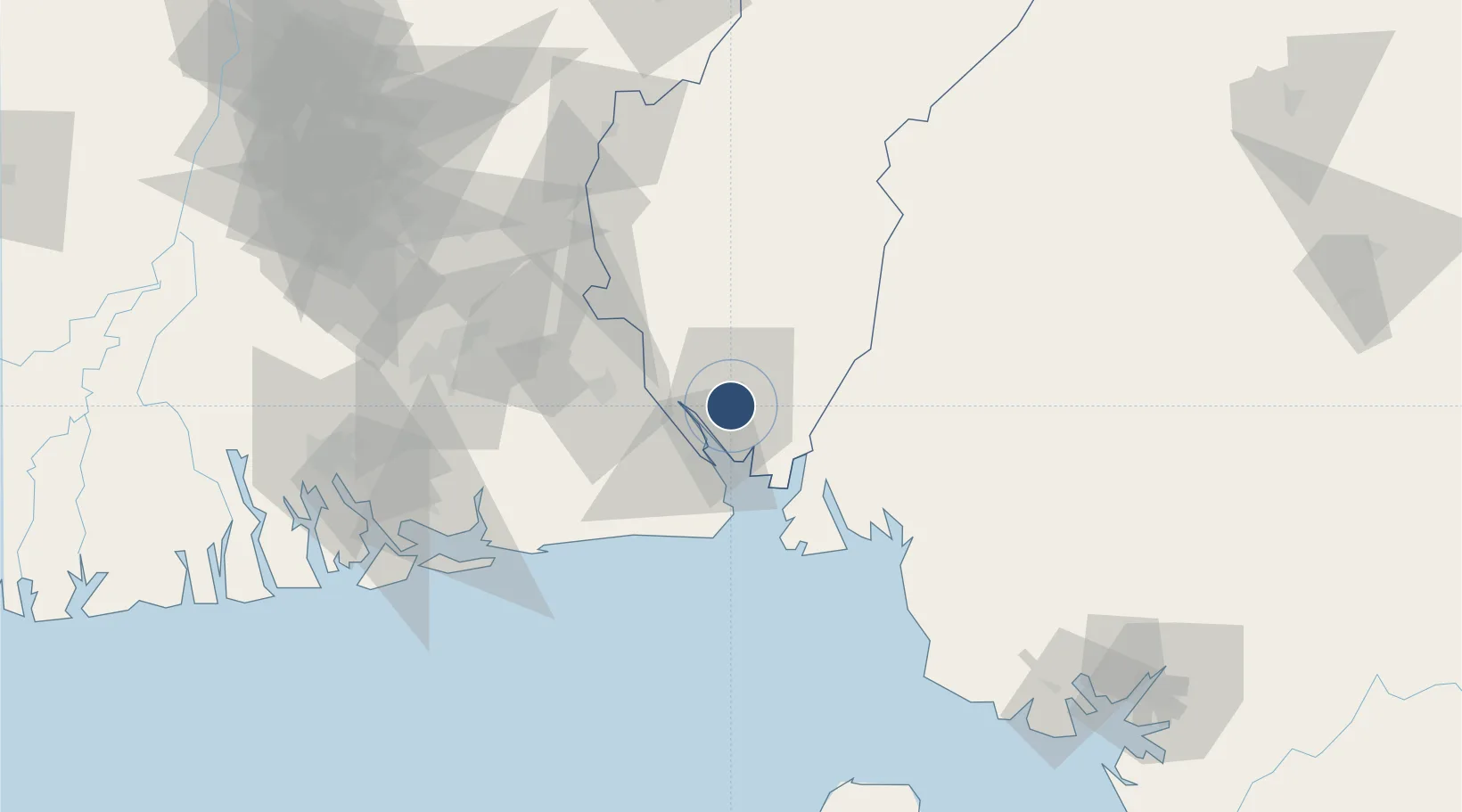
4.9760°, 8.3472°
8,040 ft
Longest runway
1
Runways
210 ft
Elevation

Runway & Layout

Margaret Ekpo International Airport runway & taxiway layout
Runway & taxiway layout — OpenStreetMap (ODbL) / OurAirports

Radio Frequencies

TWR
124.5 MHz
OurAirports

Navaids

CAL VOR-DME Calabar 114.10 MHz
CR NDB Calabar 317 kHz
OurAirports

Runways · 1

RunwayDimensions SurfaceTrue headingLit
03/21 8,040 × 148ft Asphalt 027°
OurAirports

Airport Specifications

IATA code
CBQ
OurAirports
ICAO code
DNCA
OurAirports
Airport class
Medium airport
OurAirports
Scheduled service
Yes
OurAirports
Runway surface
Asphalt
OurAirports
Served city
Calabar
OurAirports

Location

Location of DNCA
Natural Earth 10m (public domain) · Cross River · DNCA · 4.98, 8.35GoogleOSMYandex

Nearby Logistics Neighbours

Airports
  1. 1Akwa Ibom International Airport30 km
  2. 2Sam Mbakwe International Cargo Airport136 km
  3. 3Malabo International Airport142 km
  4. 4Port Harcourt City Airport / Port Harcourt Air Force Base148 km
  5. 5Tiko Airport150 km
Nearest neighbours — logibook spatial index (haversine) over the source coordinates
Cities
  1. 1Antan85 km
  2. 2Moudi Terminal97 km
  3. 3Kumba126 km
  4. 4Zafiro Terminal127 km
  5. 5Serpentina Terminal134 km
Nearest neighbours — logibook spatial index (haversine) over the source coordinates
Ports
  1. 1Calabar4 km
  2. 2Kole Oil Terminal84 km
  3. 3Antan Oil Terminal85 km
  4. 4Qua Iboe Oil Terminal90 km
  5. 5Moudi Marine Terminal97 km
Nearest neighbours — logibook spatial index (haversine) over the source coordinates
Trade Zones
  1. 1Calabar Free Trade Zone5 km
  2. 2Tinapa Free Zone & Resort9 km
  3. 3Ibom Science & Technology Free Zone45 km
  4. 4Ibom Industrial City Free Zone50 km
  5. 5Enyimba Economic City85 km
Nearest neighbours — logibook spatial index (haversine) over the source coordinates
DatabookThe Record of Consolidated Knowledge
Nigeria beyond logistics?
Browse databook

All Sources

AirportsOurAirports
Public domain
Portsthe NGA World Port Index
Public domain (US gov)
LocationsUN/LOCODE
UN/LOCODE — free
Trade Zonesthe World Bank SEZ database
CC BY 4.0
Trade ZonesOpen Zone Map
CC BY
InfrastructureOpenStreetMap
ODbL 1.0
← Nigeria airports