Medium airport · Nigeria

Akwa Ibom International AirportDNAI
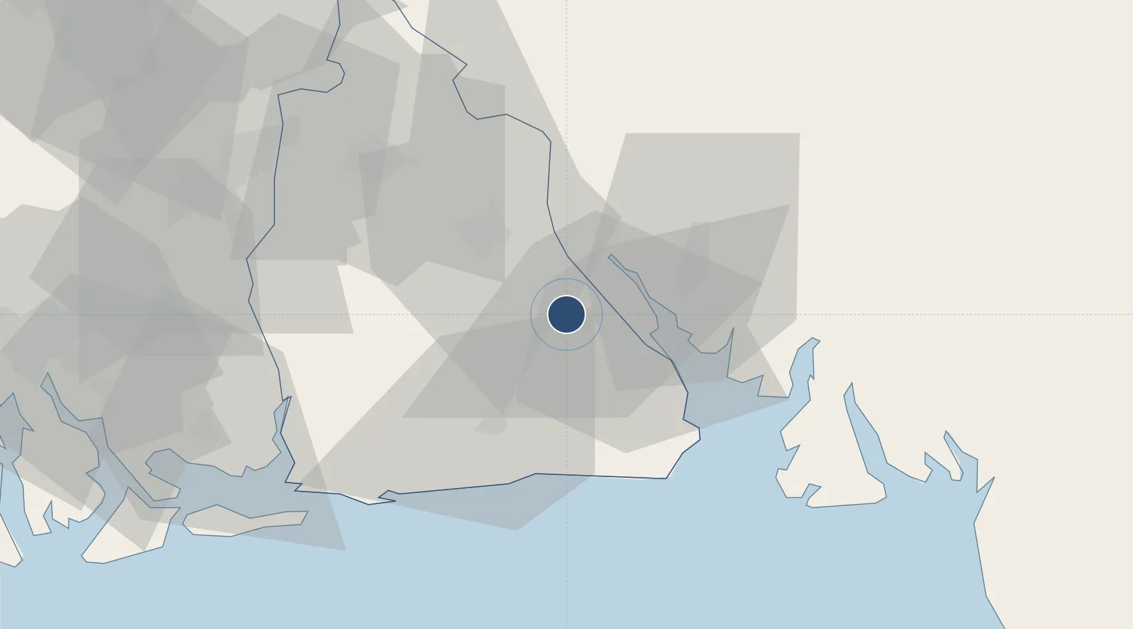
4.8725°, 8.0930°
11,811 ft
Longest runway
1
Runways
170 ft
Elevation

Runway & Layout

Akwa Ibom International Airport runway & taxiway layout
Runway & taxiway layout — OpenStreetMap (ODbL) / OurAirports

Runways · 1

RunwayDimensions SurfaceTrue headingLit
03/21 11,811 × —ft
OurAirports

Airport Specifications

IATA code
QUO
OurAirports
ICAO code
DNAI
OurAirports
Airport class
Medium airport
OurAirports
Scheduled service
Yes
OurAirports
Served city
Uyo
OurAirports

Location

Location of DNAI
Natural Earth 10m (public domain) · Akwa Ibom · DNAI · 4.87, 8.09GoogleOSMYandex

Nearby Logistics Neighbours

Cities
  1. 1Antan77 km
  2. 2Moudi Terminal95 km
  3. 3Onne106 km
  4. 4Ima107 km
  5. 5Zafiro Terminal114 km
Nearest neighbours — logibook spatial index (haversine) over the source coordinates
Ports
  1. 1Calabar27 km
  2. 2Qua Iboe Oil Terminal71 km
  3. 3Antan Oil Terminal78 km
  4. 4Kole Oil Terminal86 km
  5. 5Moudi Marine Terminal95 km
Nearest neighbours — logibook spatial index (haversine) over the source coordinates
Trade Zones
  1. 1Ibom Science & Technology Free Zone22 km
  2. 2Calabar Free Trade Zone30 km
  3. 3Tinapa Free Zone & Resort32 km
  4. 4Ibom Industrial City Free Zone41 km
  5. 5Enyimba Economic City59 km
Nearest neighbours — logibook spatial index (haversine) over the source coordinates
DatabookThe Record of Consolidated Knowledge
Nigeria beyond logistics?
Browse databook

All Sources

AirportsOurAirports
Public domain
Portsthe NGA World Port Index
Public domain (US gov)
LocationsUN/LOCODE
UN/LOCODE — free
Trade Zonesthe World Bank SEZ database
CC BY 4.0
Trade ZonesOpen Zone Map
CC BY
InfrastructureOpenStreetMap
ODbL 1.0
← Nigeria airports