Seaport · Nigeria
OnneNGONN
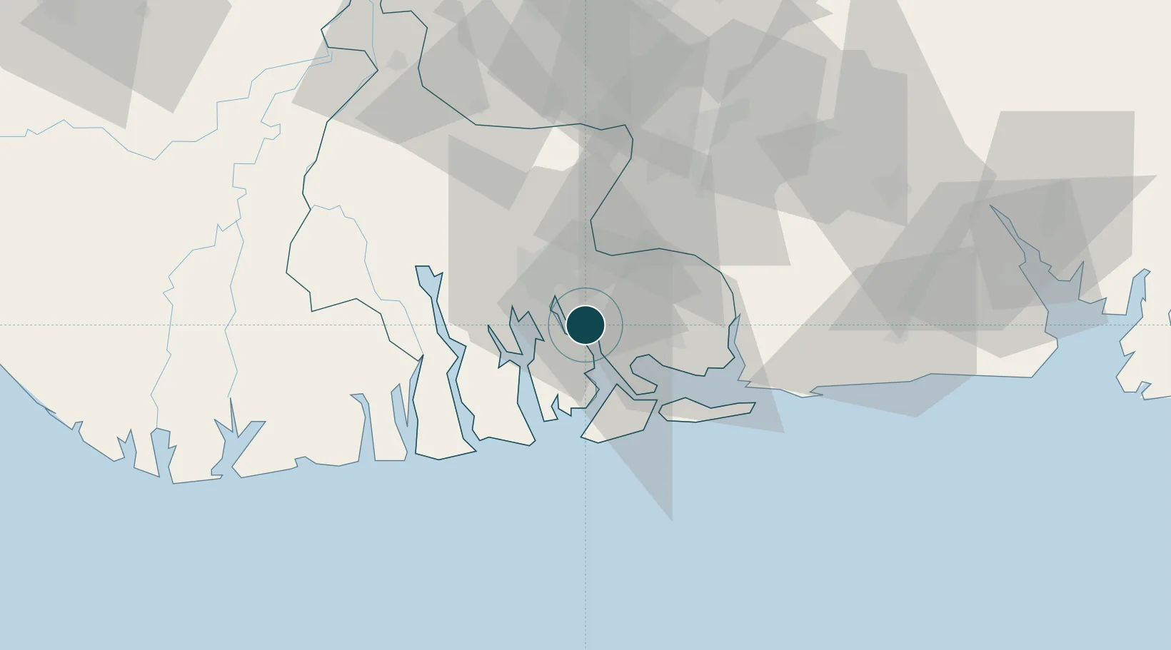
4.6833°, 7.1500°
9.2 m
Channel depth
2
Container terminals
124.1
Port liner connectivity
Channel & Berth Profile
Pilotage, Tugs & Services
Pilotage compulsoryYES
Pilotage availableYES
Potable waterYES
MedicalYES
Facilities & Capabilities
Container—
Ro-Ro—
Liquid bulk—
Dry bulk—
Oil terminal—
Break bulk—
Dry dock—
RepairsNO
BunkeringYES
Rail link—
Dangerous cargo—
ISPS security—
Harbour Specifications
Harbour size
Very Small
Harbour type
River (Natural)
Shelter
Fair
Water body
Gulf of Guinea; North Atlantic Ocean
Tidal range
1.8 m
Overhead limit
No
Pilotage
Yes
Liner Connectivity
124.1
PLSCI
Port Liner Shipping Connectivity Index for Onne, as published by UNCTAD for the latest available quarter. Higher values indicate stronger scheduled liner-shipping integration.
Shown relative to the highest per-port PLSCI in the dataset (1,657.9).
Location
Container Terminals · 2
WEST AFRICA CONTAINER TERMINAL (WACT)
APMT APM TERMINALS
ONNE MULTIPURPOSE TERMINAL (OMT)
OMT INTERNATIONAL CONTAINER TERMINAL SERVICES, INC. (ICTSI)
Nearby Logistics Neighbours
Ports
- 1Okrika8 km
- 2Port Harcourt19 km
- 3Bonny26 km
- 4Okono Terminal80 km
- 5Okwori Terminal95 km
Cities
- 1Port Harcourt18 km
- 2Ima58 km
- 3Okono76 km
- 4Okwori95 km
- 5Awka106 km
Airports
DatabookThe Record of Consolidated Knowledge
Nigeria beyond logistics?