Transport Functions
Port
Hub Profile
Place type
Populated place
Region
Cross River State
Time zone
Africa/Lagos
Elevation
5 m
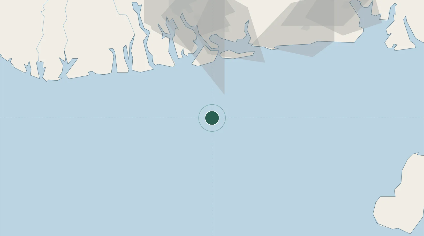
Location
Nearby Logistics Neighbours
Cities
- 1Ima25 km
- 2Okwori40 km
- 3Onne75 km
- 4Port Harcourt89 km
- 5Serpentina Terminal92 km
Ports
- 1Okwori Terminal38 km
- 2Bonny50 km
- 3Odudu Terminal54 km
- 4Onne76 km
- 5Okrika81 km
Airports
DatabookThe Record of Consolidated Knowledge
Nigeria beyond logistics?