Export Processing Zone · Nigeria

Ibom Science & Technology Free Zone Inactive
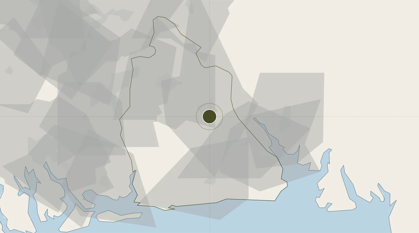
4.9973°, 7.9415°
122 ha
Zone area
41.7 km
Nearest port
21.8 km
Nearest airport

Gateway access

Nearest neighbours — logibook spatial index (haversine) over the source coordinates

Zone profile

Zone type
Export Processing Zone
Open Zone Map
Region
Akwa Ibom
Open Zone Map
Status
Inactive
Open Zone Map
Management
Public
Open Zone Map
Operator
Nigerian Export Processing Zones Authority
Open Zone Map
Legal framework
Section 10 (4) of the Nigeria Export Processing Zones Act No 63 of 1992
Open Zone Map

Location

Location of ozm-2956
Natural Earth 10m (public domain) · Akwa Ibom · ozm-2956 · 5.00, 7.94GoogleOSMYandex

Nearby Logistics Neighbours

Ports
  1. 1Calabar42 km
  2. 2Qua Iboe Oil Terminal86 km
  3. 3Onne94 km
  4. 4Antan Oil Terminal97 km
  5. 5Okrika100 km
Nearest neighbours — logibook spatial index (haversine) over the source coordinates
Cities
  1. 1Onne94 km
  2. 2Antan96 km
  3. 3Port Harcourt107 km
  4. 4Ima107 km
  5. 5Awka111 km
Nearest neighbours — logibook spatial index (haversine) over the source coordinates
Trade Zones
  1. 1Enyimba Economic City40 km
  2. 2Tinapa Free Zone & Resort42 km
  3. 3Calabar Free Trade Zone43 km
  4. 4Aluminium Smelting Company of Nigeria (ALSCON) Export Processing Zone60 km
  5. 5Ikot Abasi (Liberty) Oil & Gas Free Zone61 km
Nearest neighbours — logibook spatial index (haversine) over the source coordinates
DatabookThe Record of Consolidated Knowledge
Nigeria beyond logistics?
Browse databook

All Sources

Trade ZonesOpen Zone Map
CC BY
Portsthe NGA World Port Index
Public domain (US gov)
AirportsOurAirports
Public domain
LocationsUN/LOCODE
UN/LOCODE — free
← Nigeria trade zones