Export Processing Zone · Nigeria
Onne Oil & Gas Export Free Zone Active
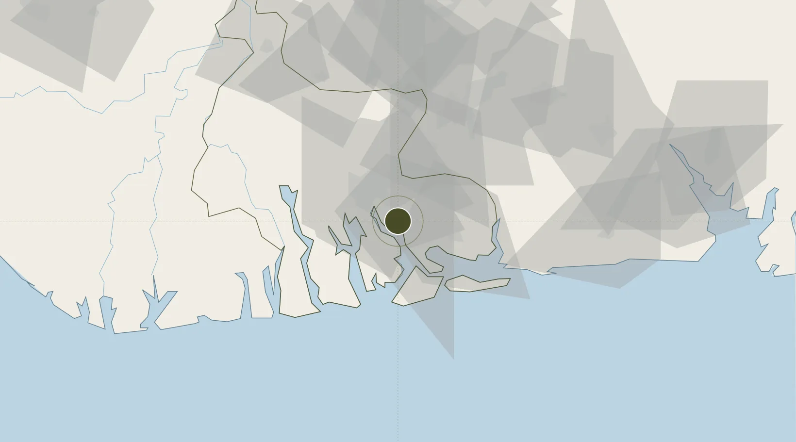
4.7010°, 7.1618°
2,538 ha
Zone area
2.4 km
Nearest port
22.4 km
Nearest airport
Gateway access
Zone profile
Zone type
Export Processing Zone
Specialization
Energy
Region
Rivers
Status
Active
Established
2008
Management
Private management
Operator
DMS International Ltd
Regulatory authority
Nigeria Export Processing Zone Authority (NEPZA)
Legal framework
Nigeria Export Processing Zones Decree No 63
Location
Fiscal & incentives
Corporate tax
30%
Tax relief
100% exempt
Relief duration
Perpetual
VAT
100% exempt from consumption tax on utilities
Import duty (inputs)
100% exempt
Import duty (capex)
100% exempt
Profit repatriation
100% exempt from repatriation tax on capital, profits, and dividends
Capital gains
100% exempt from any government tax
Withholding tax
100% exempt from any government tax
Min. investment
None
Min. export
0%
Employment incentive
100% exempt from any government tax
Developer incentive
Yes
Nearby Logistics Neighbours
Ports
- 1Onne2 km
- 2Okrika9 km
- 3Port Harcourt19 km
- 4Bonny28 km
- 5Okono Terminal81 km
Airports
Cities
- 1Onne3 km
- 2Port Harcourt19 km
- 3Ima59 km
- 4Okono77 km
- 5Okwori97 km
DatabookThe Record of Consolidated Knowledge
Nigeria beyond logistics?