Channel & Berth Profile
Pilotage, Tugs & Services
Pilotage compulsoryYES
Pilotage advisableYES
Tug assistanceYES
Potable waterYES
MedicalNO
Facilities & Capabilities
Container—
Ro-Ro—
Liquid bulk—
Dry bulk—
Oil terminal—
Break bulk—
Dry dock—
RepairsNO
BunkeringYES
Rail link—
Dangerous cargo—
ISPS security—
Harbour Specifications
Harbour size
Very Small
Harbour type
River (Natural)
Shelter
Fair
Water body
Gulf of Guinea; North Atlantic Ocean
Tidal range
1 m
Pilotage
Yes
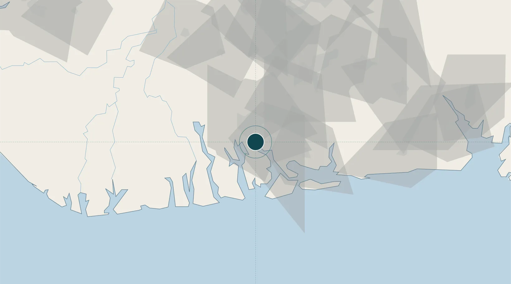
Location
Nearby Logistics Neighbours
Ports
- 1Onne8 km
- 2Port Harcourt11 km
- 3Bonny31 km
- 4Okono Terminal85 km
- 5Okwori Terminal97 km
Cities
- 1Onne9 km
- 2Port Harcourt10 km
- 3Ima65 km
- 4Okono81 km
- 5Okwori97 km
Airports
DatabookThe Record of Consolidated Knowledge
Nigeria beyond logistics?