Diversified Zone · Nigeria

Tinapa Free Zone & Resort Active
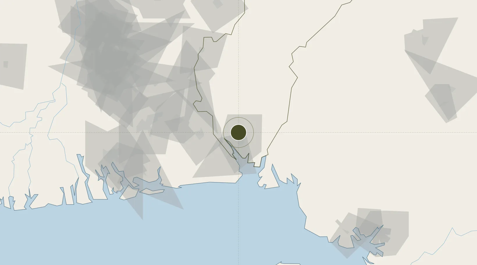
5.0508°, 8.3183°
265 ha
Zone area
9.4 km
Nearest port
8.9 km
Nearest airport

Gateway access

Nearest neighbours — logibook spatial index (haversine) over the source coordinates

Zone profile

Zone type
Diversified Zone
Open Zone Map
Region
Cross River
Open Zone Map
Status
Active
Open Zone Map
Management
Public-Private Partnership
Open Zone Map
Operator
African Sun Hotels, Future Africa Inc.
Open Zone Map
Legal framework
(Cap No. 107-2004) Tinapa Free Zone & Resort Regulations, 2009
Open Zone Map

Location

Location of ozm-2950
Natural Earth 10m (public domain) · Cross River · ozm-2950 · 5.05, 8.32GoogleOSMYandex

Nearby Logistics Neighbours

Ports
  1. 1Calabar9 km
  2. 2Kole Oil Terminal93 km
  3. 3Antan Oil Terminal93 km
  4. 4Qua Iboe Oil Terminal96 km
  5. 5Moudi Marine Terminal106 km
Nearest neighbours — logibook spatial index (haversine) over the source coordinates
Cities
  1. 1Antan93 km
  2. 2Moudi Terminal106 km
  3. 3Kumba132 km
  4. 4Zafiro Terminal135 km
  5. 5Onne136 km
Nearest neighbours — logibook spatial index (haversine) over the source coordinates
Trade Zones
  1. 1Calabar Free Trade Zone4 km
  2. 2Ibom Science & Technology Free Zone42 km
  3. 3Ibom Industrial City Free Zone57 km
  4. 4Enyimba Economic City81 km
  5. 5Aluminium Smelting Company of Nigeria (ALSCON) Export Processing Zone95 km
Nearest neighbours — logibook spatial index (haversine) over the source coordinates
DatabookThe Record of Consolidated Knowledge
Nigeria beyond logistics?
Browse databook

All Sources

Trade ZonesOpen Zone Map
CC BY
Portsthe NGA World Port Index
Public domain (US gov)
AirportsOurAirports
Public domain
LocationsUN/LOCODE
UN/LOCODE — free
← Nigeria trade zones