Transport Functions
Multimodal
Hub Profile
Place type
Populated place
Region
Imo State
Time zone
Africa/Lagos
Elevation
188 m
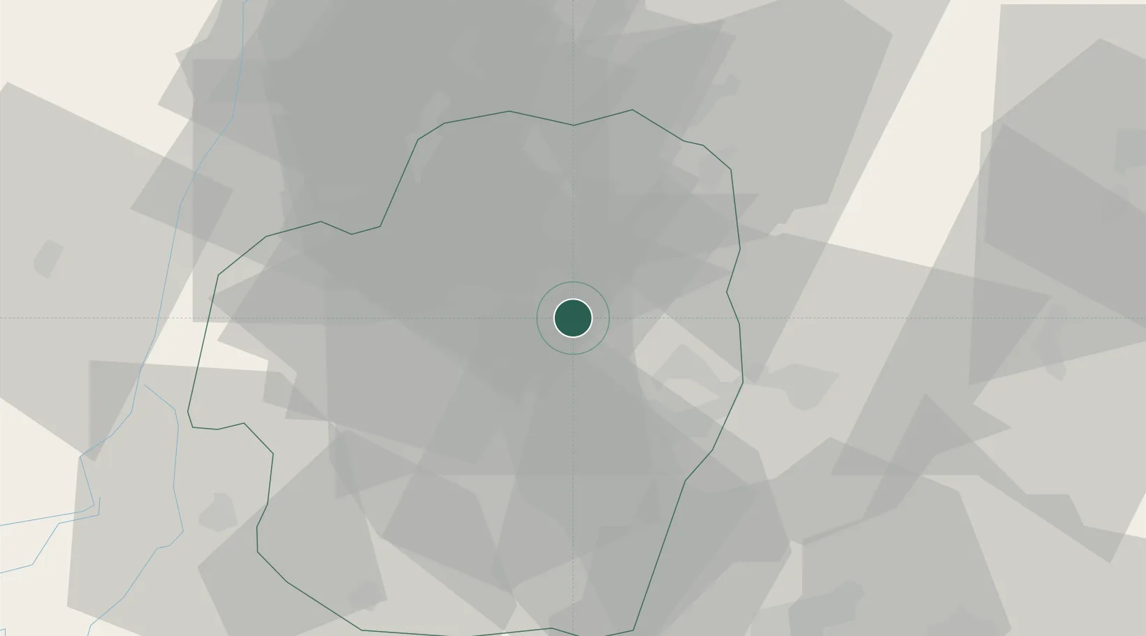
Location
Nearby Logistics Neighbours
Cities
- 1Umuoja Obosi65 km
- 2Asaba77 km
- 3Port Harcourt98 km
- 4Onne106 km
- 5Ima159 km
Ports
- 1Port Harcourt98 km
- 2Okrika102 km
- 3Onne106 km
- 4Bonny132 km
- 5Calabar147 km
Airports
Trade Zones
DatabookThe Record of Consolidated Knowledge
Nigeria beyond logistics?