Specialized Zone · Nigeria

Aluminium Smelting Company of Nigeria (ALSCON) Export Processing Zone Active
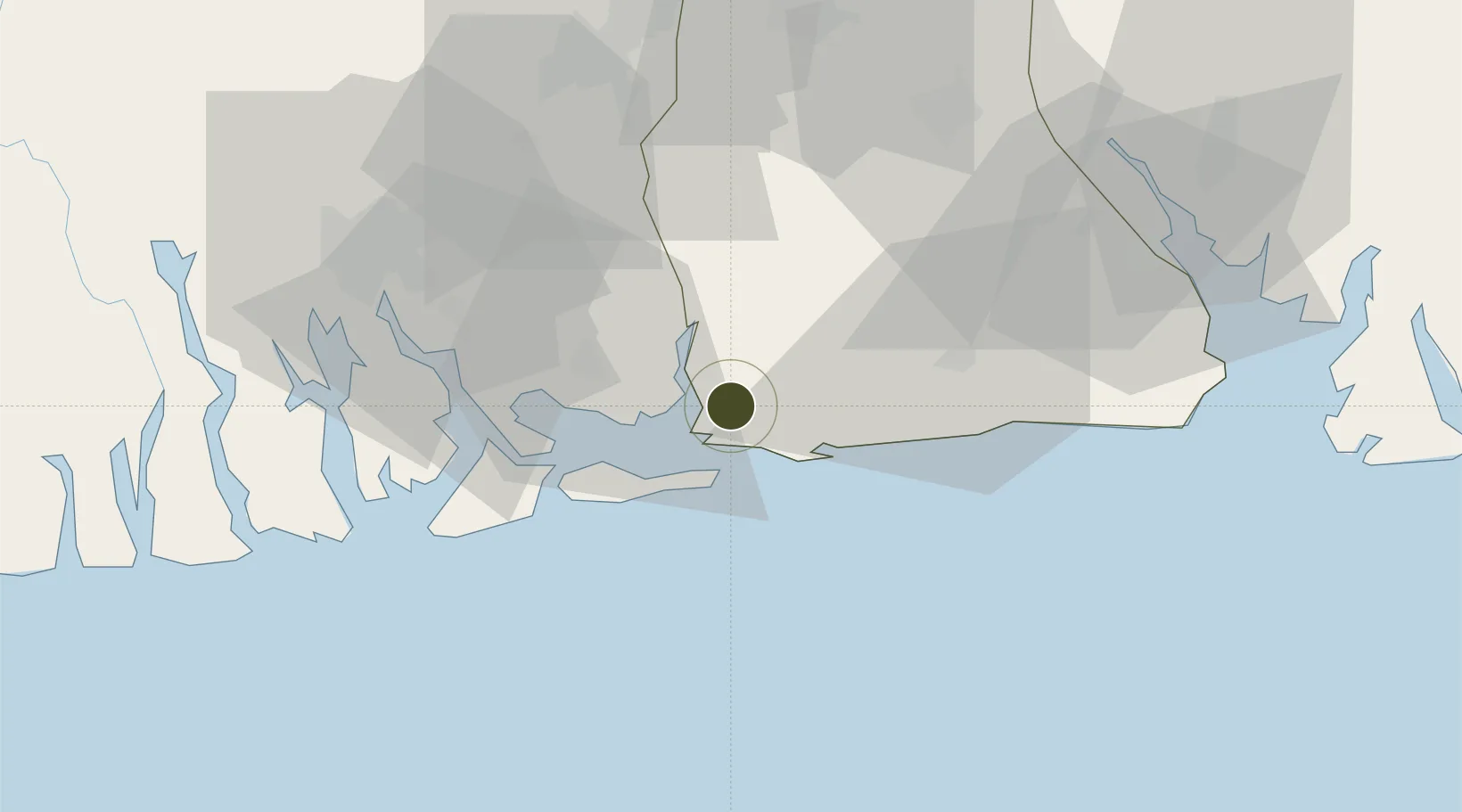
4.5824°, 7.6008°
186 ha
Zone area
50.3 km
Nearest port
63.4 km
Nearest airport

Gateway access

Nearest neighbours — logibook spatial index (haversine) over the source coordinates

Zone profile

Zone type
Specialized Zone
Open Zone Map
Specialization
Manufacturing
Open Zone Map
Region
Akwa Ibom
Open Zone Map
Status
Active
Open Zone Map
Management
Public-Private Partnership
Open Zone Map
Operator
Federal Government, Aluminium Smelting Company of Nigeria
Open Zone Map
Legal framework
Section 10 (4) of the Nigeria Export Processing Zones Act No 63 of 1992
Open Zone Map

Location

Location of ozm-2989
Natural Earth 10m (public domain) · Akwa Ibom · ozm-2989 · 4.58, 7.60GoogleOSMYandex

Nearby Logistics Neighbours

Ports
  1. 1Bonny50 km
  2. 2Onne51 km
  3. 3Okrika59 km
  4. 4Qua Iboe Oil Terminal62 km
  5. 5Odudu Terminal67 km
Nearest neighbours — logibook spatial index (haversine) over the source coordinates
Cities
  1. 1Ima47 km
  2. 2Onne51 km
  3. 3Port Harcourt69 km
  4. 4Okono72 km
  5. 5Antan89 km
Nearest neighbours — logibook spatial index (haversine) over the source coordinates
Trade Zones
  1. 1Ikot Abasi (Liberty) Oil & Gas Free Zone1 km
  2. 2Enyimba Economic City49 km
  3. 3Onne Oil & Gas Export Free Zone50 km
  4. 4Ibom Science & Technology Free Zone60 km
  5. 5Ibom Industrial City Free Zone72 km
Nearest neighbours — logibook spatial index (haversine) over the source coordinates
DatabookThe Record of Consolidated Knowledge
Nigeria beyond logistics?
Browse databook

All Sources

Trade ZonesOpen Zone Map
CC BY
Portsthe NGA World Port Index
Public domain (US gov)
AirportsOurAirports
Public domain
LocationsUN/LOCODE
UN/LOCODE — free
← Nigeria trade zones