Specialized Zone · Nigeria

Ikot Abasi (Liberty) Oil & Gas Free Zone Active
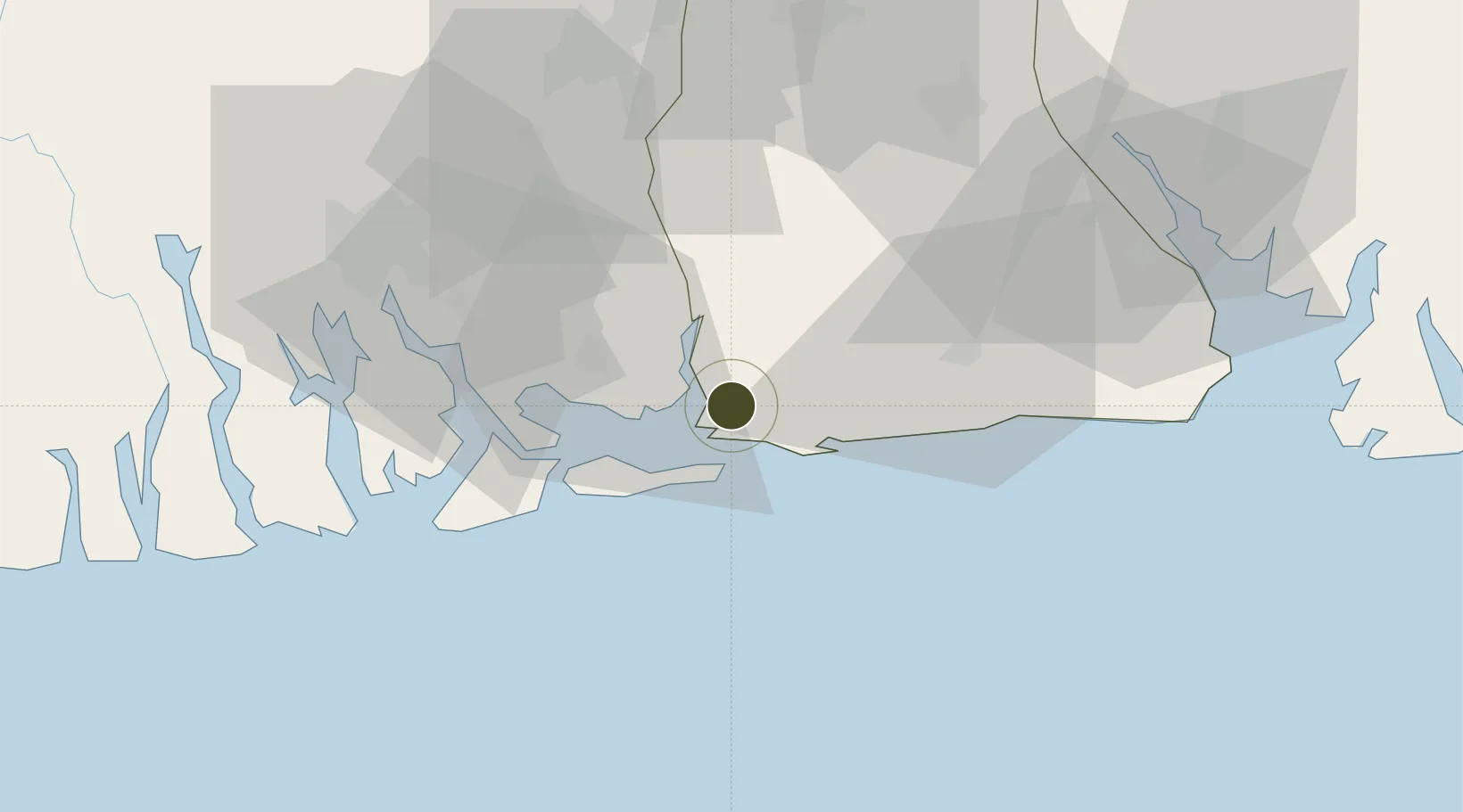
4.5738°, 7.5938°
1,081 ha
Zone area
49.3 km
Nearest port
64.5 km
Nearest airport

Gateway access

Nearest neighbours — logibook spatial index (haversine) over the source coordinates

Zone profile

Zone type
Specialized Zone
Open Zone Map
Specialization
Energy
Open Zone Map
Region
Akwa Ibom
Open Zone Map
Status
Active
Open Zone Map
Management
Public-Private Partnership
Open Zone Map
Operator
Nigerian National Petroleum Corporation, Black Rhino Group
Open Zone Map
Legal framework
Section 2 of the Oil and Gas Export Free Zone Act No. 8 of 1996
Open Zone Map

Location

Location of ozm-2985
Natural Earth 10m (public domain) · Akwa Ibom · ozm-2985 · 4.57, 7.59GoogleOSMYandex

Nearby Logistics Neighbours

Ports
  1. 1Bonny49 km
  2. 2Onne51 km
  3. 3Okrika59 km
  4. 4Qua Iboe Oil Terminal62 km
  5. 5Odudu Terminal67 km
Nearest neighbours — logibook spatial index (haversine) over the source coordinates
Cities
  1. 1Ima46 km
  2. 2Onne50 km
  3. 3Port Harcourt68 km
  4. 4Okono71 km
  5. 5Antan89 km
Nearest neighbours — logibook spatial index (haversine) over the source coordinates
Trade Zones
  1. 1Aluminium Smelting Company of Nigeria (ALSCON) Export Processing Zone1 km
  2. 2Onne Oil & Gas Export Free Zone50 km
  3. 3Enyimba Economic City50 km
  4. 4Ibom Science & Technology Free Zone61 km
  5. 5Ibom Industrial City Free Zone73 km
Nearest neighbours — logibook spatial index (haversine) over the source coordinates
DatabookThe Record of Consolidated Knowledge
Nigeria beyond logistics?
Browse databook

All Sources

Trade ZonesOpen Zone Map
CC BY
Portsthe NGA World Port Index
Public domain (US gov)
AirportsOurAirports
Public domain
LocationsUN/LOCODE
UN/LOCODE — free
← Nigeria trade zones