Seaport · Nigeria

CalabarNGCBQ

4.9667°, 8.3167°
7.9 m
Channel depth
6.8
Port liner connectivity

Channel & Berth Profile

SEA LEVEL (CD)CHANNEL BEDAnchorage · 7.0 mChannel · 7.9 mOil terminal · 8.0 mCargo pier · 10.0 m
NGA World Port Index

Pilotage, Tugs & Services

Pilotage compulsoryYES
Pilotage availableYES
Tug assistanceYES
Shore powerYES
Potable waterYES
Diesel bunkersNO
MedicalYES
Garbage disposalYES
NGA World Port Index

Facilities & Capabilities

Container
Ro-Ro
Liquid bulk
Dry bulk
Oil terminal
Break bulk
Dry dockNO
RepairsNO
BunkeringYES
Rail link
Dangerous cargo
ISPS security
NGA World Port Index

Harbour Specifications

Harbour size
Very Small
NGA World Port Index
Harbour type
River (Natural)
NGA World Port Index
Shelter
Excellent
NGA World Port Index
Water body
Gulf of Guinea; North Atlantic Ocean
NGA World Port Index
Tidal range
3.1 m
NGA World Port Index
Pilotage
Yes
NGA World Port Index

Liner Connectivity

6.8
PLSCI

Port Liner Shipping Connectivity Index for Calabar, as published by UNCTAD for the latest available quarter. Higher values indicate stronger scheduled liner-shipping integration.

Shown relative to the highest per-port PLSCI in the dataset (1,657.9).

UNCTAD · Port Liner Shipping Connectivity Index

Location

Location of NGCBQ
Natural Earth 10m (public domain) · Cross River · NGCBQ · 4.97, 8.32GoogleOSMYandex

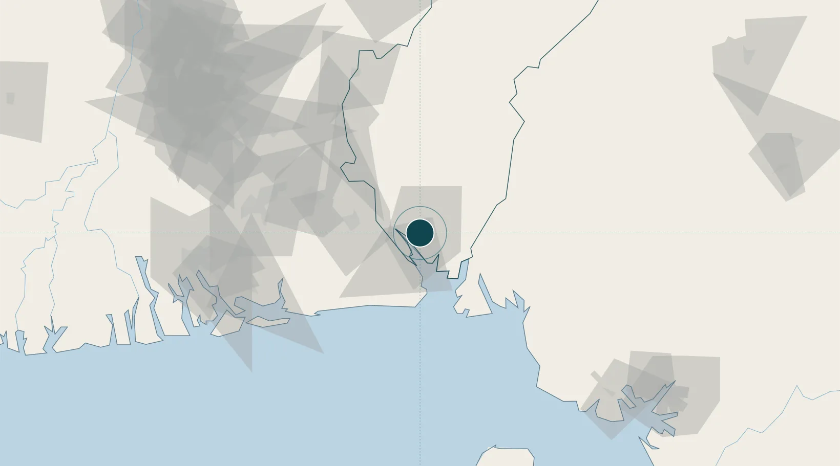
Nearby Logistics Neighbours

Ports
  1. 1Antan Oil Terminal83 km
  2. 2Kole Oil Terminal84 km
  3. 3Qua Iboe Oil Terminal87 km
  4. 4Moudi Marine Terminal96 km
  5. 5Odudu Terminal124 km
Nearest neighbours — logibook spatial index (haversine) over the source coordinates
Cities
  1. 1Antan83 km
  2. 2Moudi Terminal96 km
  3. 3Zafiro Terminal125 km
  4. 4Kumba129 km
  5. 5Serpentina Terminal132 km
Nearest neighbours — logibook spatial index (haversine) over the source coordinates
Trade Zones
  1. 1Calabar Free Trade Zone6 km
  2. 2Tinapa Free Zone & Resort9 km
  3. 3Ibom Science & Technology Free Zone42 km
  4. 4Ibom Industrial City Free Zone48 km
  5. 5Enyimba Economic City81 km
Nearest neighbours — logibook spatial index (haversine) over the source coordinates
DatabookThe Record of Consolidated Knowledge
Nigeria beyond logistics?
Browse databook

All Sources

Portsthe NGA World Port Index
Public domain (US gov)
Logistics performanceUNCTAD
CC BY 3.0 IGO
AirportsOurAirports
Public domain
LocationsUN/LOCODE
UN/LOCODE — free
Trade Zonesthe World Bank SEZ database
CC BY 4.0
Trade ZonesOpen Zone Map
CC BY
← Nigeria ports