UN/LOCODE hub · Nigeria
NGPHC
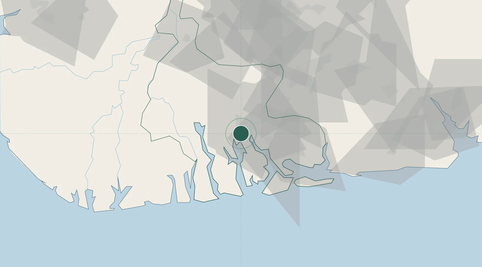
Port Harcourt
4.7664°, 7.0081°
2,120,000
Population
2
Transport functions
1
Container terminals
Transport Functions
Port
Airport
Hub Profile
Place type
Regional capital
Region
Rivers State
Population
2,120,000
Time zone
Africa/Lagos
Elevation
16 m
Logistics facilities
1
Container terminals
1
Location
Nearby Logistics Neighbours
Cities
- 1Onne19 km
- 2Ima74 km
- 3Okono89 km
- 4Kirikakiri97 km
- 5Awka98 km
Ports
- 1Okrika10 km
- 2Onne18 km
- 3Bonny39 km
- 4Okono Terminal93 km
- 5Okwori Terminal102 km
Airports
DatabookThe Record of Consolidated Knowledge
Nigeria beyond logistics?