Seaport · Nigeria
Port HarcourtNGPHC
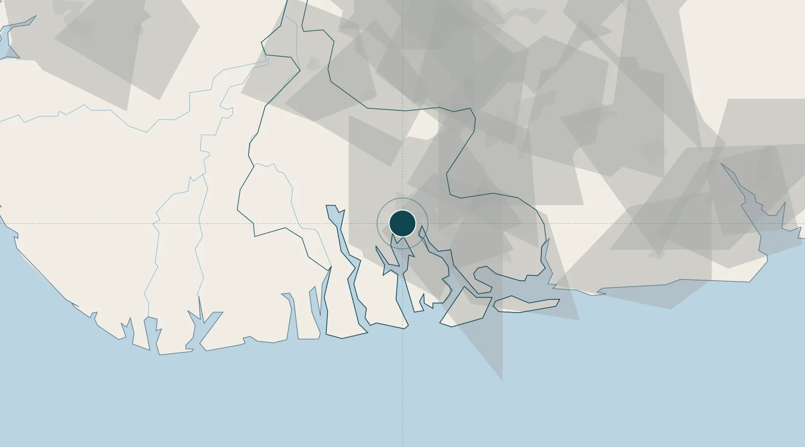
4.7667°, 7.0000°
11.5 m
Channel depth
1
Container terminals
13.2
Port liner connectivity
Channel & Berth Profile
Pilotage, Tugs & Services
Pilotage compulsoryYES
Pilotage availableYES
Pilotage advisableYES
Tug assistanceYES
Salvage tugsNO
Shore powerYES
Potable waterYES
Diesel bunkersYES
MedicalYES
Facilities & Capabilities
Container—
Ro-Ro—
Liquid bulk—
Dry bulk—
Oil terminal—
Break bulk—
Dry dock—
RepairsNO
BunkeringYES
Rail linkYES
Dangerous cargo—
ISPS security—
Harbour Specifications
Harbour size
Very Small
Harbour type
River (Natural)
Shelter
Fair
Water body
Gulf of Guinea; North Atlantic Ocean
Tidal range
1.9 m
Pilotage
Yes
Liner Connectivity
13.2
PLSCI
Port Liner Shipping Connectivity Index for Port Harcourt, as published by UNCTAD for the latest available quarter. Higher values indicate stronger scheduled liner-shipping integration.
Shown relative to the highest per-port PLSCI in the dataset (1,657.9).
Location
Container Terminals · 1
PORTS AND TERMINAL OPERATORS (PTOL)
PTOL PORTS AND TERMINAL OPERATORS NIG. LTD.
Nearby Logistics Neighbours
Ports
- 1Okrika11 km
- 2Onne19 km
- 3Bonny40 km
- 4Okono Terminal93 km
- 5Okwori Terminal102 km
Cities
- 1Onne20 km
- 2Ima75 km
- 3Okono89 km
- 4Kirikakiri96 km
- 5Awka98 km
Airports
DatabookThe Record of Consolidated Knowledge
Nigeria beyond logistics?