Transport Functions
Port
Hub Profile
Place type
Populated place
Region
Benue State
Time zone
Africa/Lagos
Elevation
131 m
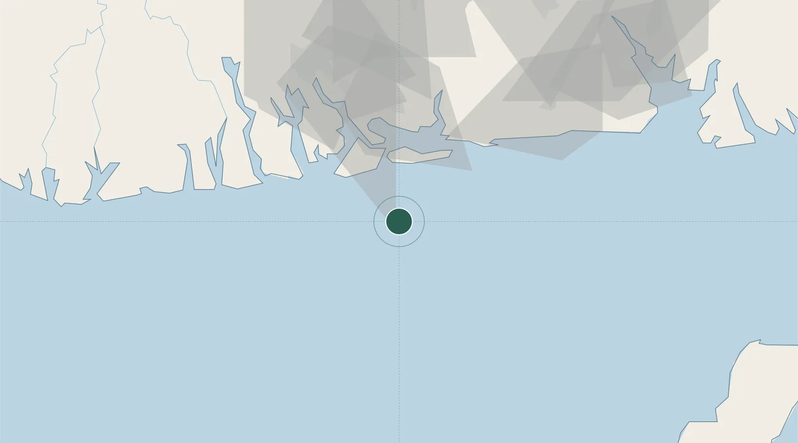
Location
Nearby Logistics Neighbours
Cities
- 1Okono25 km
- 2Onne58 km
- 3Okwori62 km
- 4Port Harcourt74 km
- 5Serpentina Terminal90 km
Ports
- 1Okono Terminal28 km
- 2Bonny35 km
- 3Odudu Terminal49 km
- 4Onne58 km
- 5Okwori Terminal60 km
Airports
DatabookThe Record of Consolidated Knowledge
Nigeria beyond logistics?