UN/LOCODE hub · Nigeria
NGONN

Onne

4.6801°, 7.1530°
2
Transport functions
2
Container terminals

Transport Functions

Port
Road
Onne is also a profiled seaport →
UN/LOCODE

Hub Profile

Place type
Populated place
GeoNames
Region
Rivers State
GeoNames
Time zone
Africa/Lagos
GeoNames
Elevation
17 m
GeoNames
Logistics facilities
3
UN/LOCODE
Container terminals
2
UN/LOCODE

Location

Location of NGONN
Natural Earth 10m (public domain) · Rivers State · NGONN · 4.68, 7.15GoogleOSMYandex

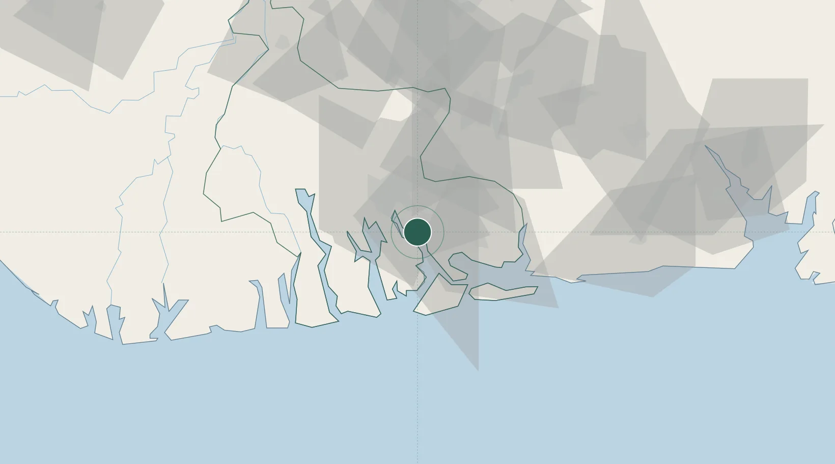
Nearby Logistics Neighbours

Cities
  1. 1Port Harcourt19 km
  2. 2Ima58 km
  3. 3Okono75 km
  4. 4Okwori95 km
  5. 5Awka106 km
Nearest neighbours — logibook spatial index (haversine) over the source coordinates
Ports
  1. 1Okrika9 km
  2. 2Port Harcourt20 km
  3. 3Bonny26 km
  4. 4Okono Terminal79 km
  5. 5Okwori Terminal94 km
Nearest neighbours — logibook spatial index (haversine) over the source coordinates
DatabookThe Record of Consolidated Knowledge
Nigeria beyond logistics?
Browse databook

All Sources

LocationsUN/LOCODE
UN/LOCODE — free
Portsthe NGA World Port Index
Public domain (US gov)
AirportsOurAirports
Public domain
Trade Zonesthe World Bank SEZ database
CC BY 4.0
Trade ZonesOpen Zone Map
CC BY
← Nigeria locations