Large airport · Nigeria

Port Harcourt International AirportDNPO
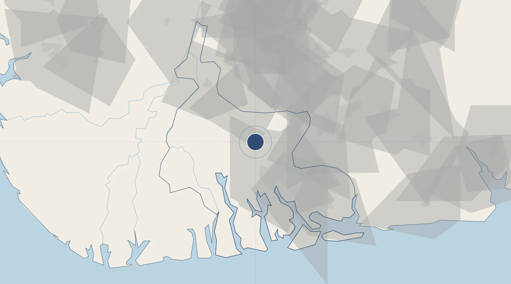
5.0155°, 6.9496°
9,843 ft
Longest runway
1
Runways
87 ft
Elevation

Runway & Layout

Port Harcourt International Airport runway & taxiway layout
Runway & taxiway layout — OpenStreetMap (ODbL) / OurAirports

Radio Frequencies

ATIS
123.8 MHz
TWR
119.2 MHz
APP
124.9 MHz
OurAirports

Navaids

PH NDB Port Harcourt 370 kHz
POT VOR-DME Port Harcourt 113.50 MHz
OurAirports

Runways · 1

RunwayDimensions SurfaceTrue headingLit
03/21 9,843 × 197ft Asphalt 028°
OurAirports

Airport Specifications

IATA code
PHC
OurAirports
ICAO code
DNPO
OurAirports
Airport class
Large airport
OurAirports
Scheduled service
Yes
OurAirports
Runway surface
Asphalt
OurAirports
Served city
Port Harcourt
OurAirports

Location

Location of DNPO
Natural Earth 10m (public domain) · Rivers · DNPO · 5.02, 6.95GoogleOSMYandex

Nearby Logistics Neighbours

Airports
  1. 1Port Harcourt City Airport / Port Harcourt Air Force Base20 km
  2. 2Sam Mbakwe International Cargo Airport54 km
  3. 3Bayelsa International Airport83 km
  4. 4Akwa Ibom International Airport128 km
  5. 5Asaba International Airport136 km
Nearest neighbours — logibook spatial index (haversine) over the source coordinates
Cities
  1. 1Port Harcourt28 km
  2. 2Onne44 km
  3. 3Awka73 km
  4. 4Ima101 km
  5. 5Kirikakiri109 km
Nearest neighbours — logibook spatial index (haversine) over the source coordinates
Ports
  1. 1Port Harcourt28 km
  2. 2Okrika36 km
  3. 3Onne43 km
  4. 4Bonny67 km
  5. 5Okono Terminal121 km
Nearest neighbours — logibook spatial index (haversine) over the source coordinates
DatabookThe Record of Consolidated Knowledge
Nigeria beyond logistics?
Browse databook

All Sources

AirportsOurAirports
Public domain
Portsthe NGA World Port Index
Public domain (US gov)
LocationsUN/LOCODE
UN/LOCODE — free
Trade Zonesthe World Bank SEZ database
CC BY 4.0
Trade ZonesOpen Zone Map
CC BY
InfrastructureOpenStreetMap
ODbL 1.0
← Nigeria airports