Free Trade Zone · Nicaragua

Zona Franca Industrial Tecnológica, SA, (ZOFITEC) - Extension Active
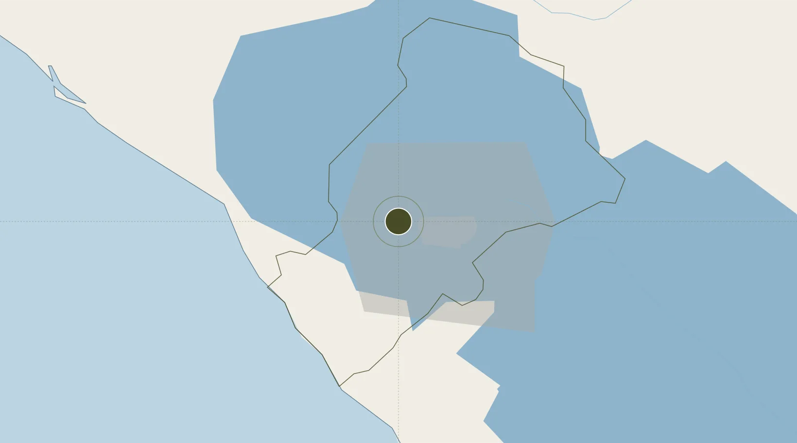
12.1561°, -86.3621°
16 ha
Zone area
44.1 km
Nearest port
21.1 km
Nearest airport

Gateway access

Nearest neighbours — logibook spatial index (haversine) over the source coordinates

Zone profile

Zone type
Free Trade Zone
Open Zone Map
Region
Managua
Open Zone Map
Status
Active
Open Zone Map
Management
Private
Open Zone Map
Operator
ZOFITEC
Open Zone Map
Legal framework
The Free Trade Zone Law – Law 917
Open Zone Map

Location

Location of ozm-2935
Natural Earth 10m (public domain) · Managua · ozm-2935 · 12.16, -86.36GoogleOSMYandex

Nearby Logistics Neighbours

Ports
  1. 1Puerto Sandino44 km
  2. 2Corinto95 km
  3. 3Puerto De Hencan182 km
  4. 4La Union206 km
  5. 5Bluefields284 km
Nearest neighbours — logibook spatial index (haversine) over the source coordinates
Airports
  1. 1Augusto C. Sandino (Managua) International Airport21 km
  2. 2Omtepe Airport101 km
  3. 3Daniel Oduber Quirós International Airport195 km
  4. 4Upala Airport203 km
  5. 5Los Chiles Airport219 km
Nearest neighbours — logibook spatial index (haversine) over the source coordinates
Cities
  1. 1Tipitapa29 km
  2. 2San Rafael del Sur35 km
  3. 3San Benito (Tipitapa)37 km
  4. 4Diriamba37 km
  5. 5Jinotepe38 km
Nearest neighbours — logibook spatial index (haversine) over the source coordinates
Trade Zones
  1. 1Parques Industriales Zeta3 km
  2. 2Zona Franca Saratoga4 km
  3. 3Inversiones IDOMAR, SA10 km
  4. 4Desarrollos Industriales Unidos, SA - (DINUSA)10 km
  5. 5Inmuebles e Industrias Agroforestales Xiloá, SA (INNICSA)11 km
Nearest neighbours — logibook spatial index (haversine) over the source coordinates
DatabookThe Record of Consolidated Knowledge
Nicaragua beyond logistics?
Browse databook

All Sources

Trade ZonesOpen Zone Map
CC BY
Portsthe NGA World Port Index
Public domain (US gov)
AirportsOurAirports
Public domain
LocationsUN/LOCODE
UN/LOCODE — free
← Nicaragua trade zones