Medium airport · Costa Rica

Los Chiles AirportMRLC
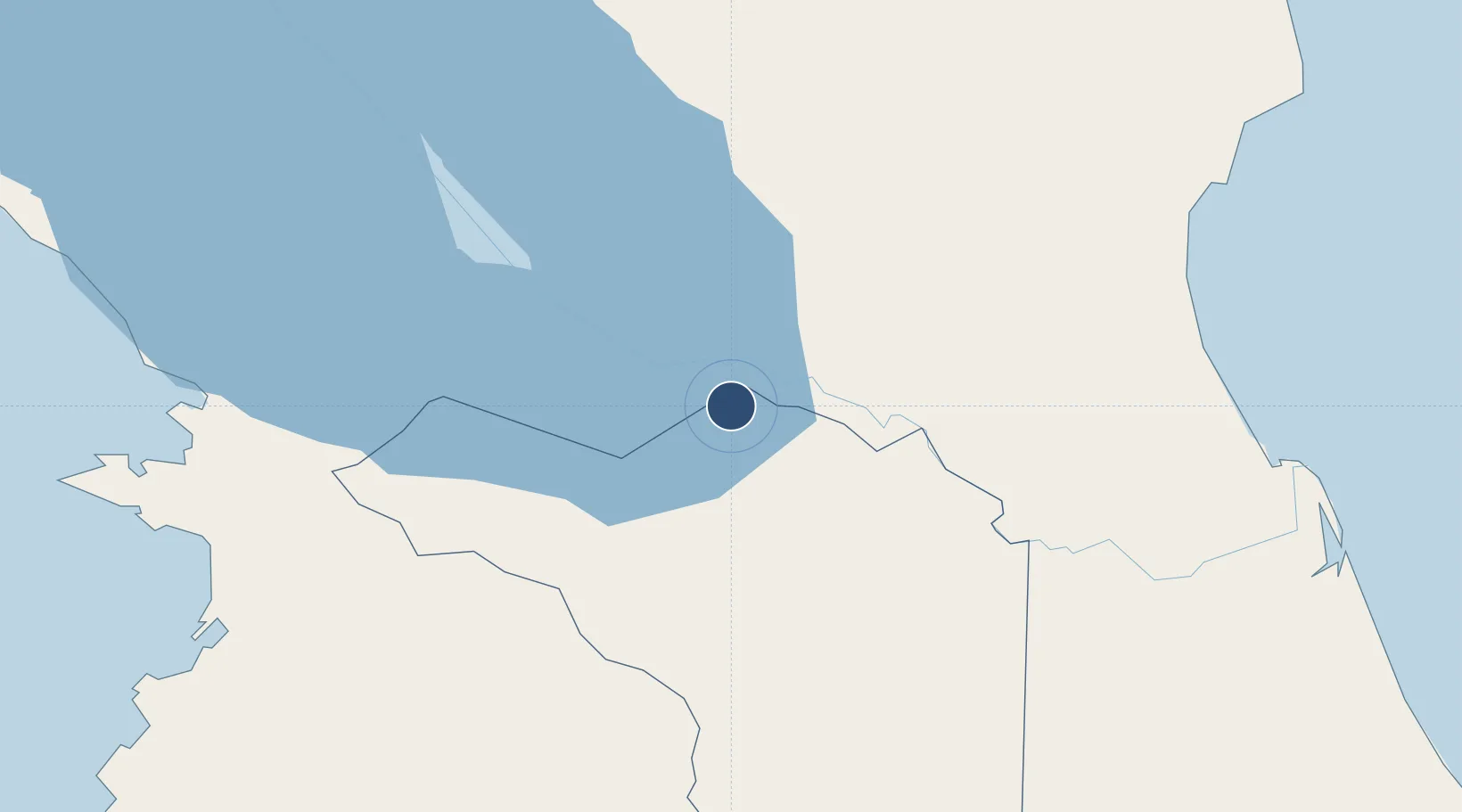
11.0353°, -84.7061°
4,265 ft
Longest runway
1
Runways
131 ft
Elevation

Runway & Layout

Los Chiles Airport runway & taxiway layout
Runway & taxiway layout — OpenStreetMap (ODbL) / OurAirports

Radio Frequencies

RDO
126.8 MHz
COCO RDO
OurAirports

Navaids

CHI NDB Los Chiles 221 kHz
OurAirports

Runways · 1

RunwayDimensions SurfaceTrue headingLit
06/24 4,265 × 49ft Asphalt 060°
OurAirports

Airport Specifications

IATA code
LSL
OurAirports
ICAO code
MRLC
OurAirports
Airport class
Medium airport
OurAirports
Scheduled service
No
OurAirports
Runway surface
Asphalt
OurAirports
Served city
Los Chiles
OurAirports

Location

Location of MRLC
Natural Earth 10m (public domain) · Alajuela · MRLC · 11.04, -84.71GoogleOSMYandex

Nearby Logistics Neighbours

Airports
  1. 1Upala Airport37 km
  2. 2La Fortuna Arenal Airport64 km
  3. 3Daniel Oduber Quirós International Airport104 km
  4. 4Omtepe Airport122 km
  5. 5Barra del Colorado Airport126 km
Nearest neighbours — logibook spatial index (haversine) over the source coordinates
Cities
  1. 1Guatuso43 km
  2. 2San Rafael Guatuso43 km
  3. 3Santa Maria/Pocosol51 km
  4. 4Cutris54 km
  5. 5Boca Arenal61 km
Nearest neighbours — logibook spatial index (haversine) over the source coordinates
Ports
  1. 1Puntarenas118 km
  2. 2Puerto Caldera124 km
  3. 3Bluefields151 km
  4. 4El Bluff153 km
  5. 5Puerto Quepos188 km
Nearest neighbours — logibook spatial index (haversine) over the source coordinates
Trade Zones
  1. 1CR Green Valley Business and Technology Park68 km
  2. 2AAA Top Talent Free Trade Zone115 km
  3. 3Activa Industrial Park116 km
  4. 4Zona Franca Puntarenas, SA117 km
  5. 5Coyol Free Zone125 km
Nearest neighbours — logibook spatial index (haversine) over the source coordinates
DatabookThe Record of Consolidated Knowledge
Costa Rica beyond logistics?
Browse databook

All Sources

AirportsOurAirports
Public domain
Portsthe NGA World Port Index
Public domain (US gov)
LocationsUN/LOCODE
UN/LOCODE — free
Trade Zonesthe World Bank SEZ database
CC BY 4.0
Trade ZonesOpen Zone Map
CC BY
InfrastructureOpenStreetMap
ODbL 1.0
← Costa Rica airports