Transport Functions
Road
Multimodal
Hub Profile
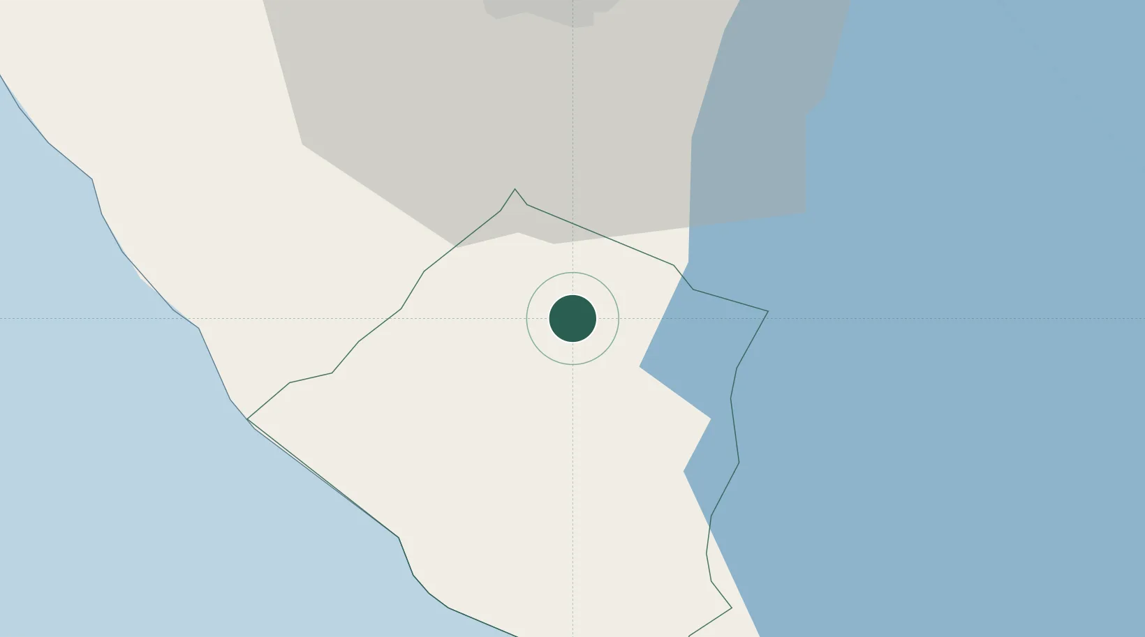
Place type
Provincial seat
Region
Carazo Department
Population
35,008
Time zone
America/Managua
Elevation
583 m
Location
Nearby Logistics Neighbours
Cities
- 1Jinotepe4 km
- 2San Rafael del Sur24 km
- 3Masachapa32 km
- 4Tipitapa42 km
- 5Malacatoya55 km
Ports
- 1Puerto Sandino69 km
- 2Corinto124 km
- 3Puerto De Hencan217 km
- 4La Union240 km
- 5Puntarenas258 km
Airports
DatabookThe Record of Consolidated Knowledge
Nicaragua beyond logistics?