Transport Functions
Rail
Road
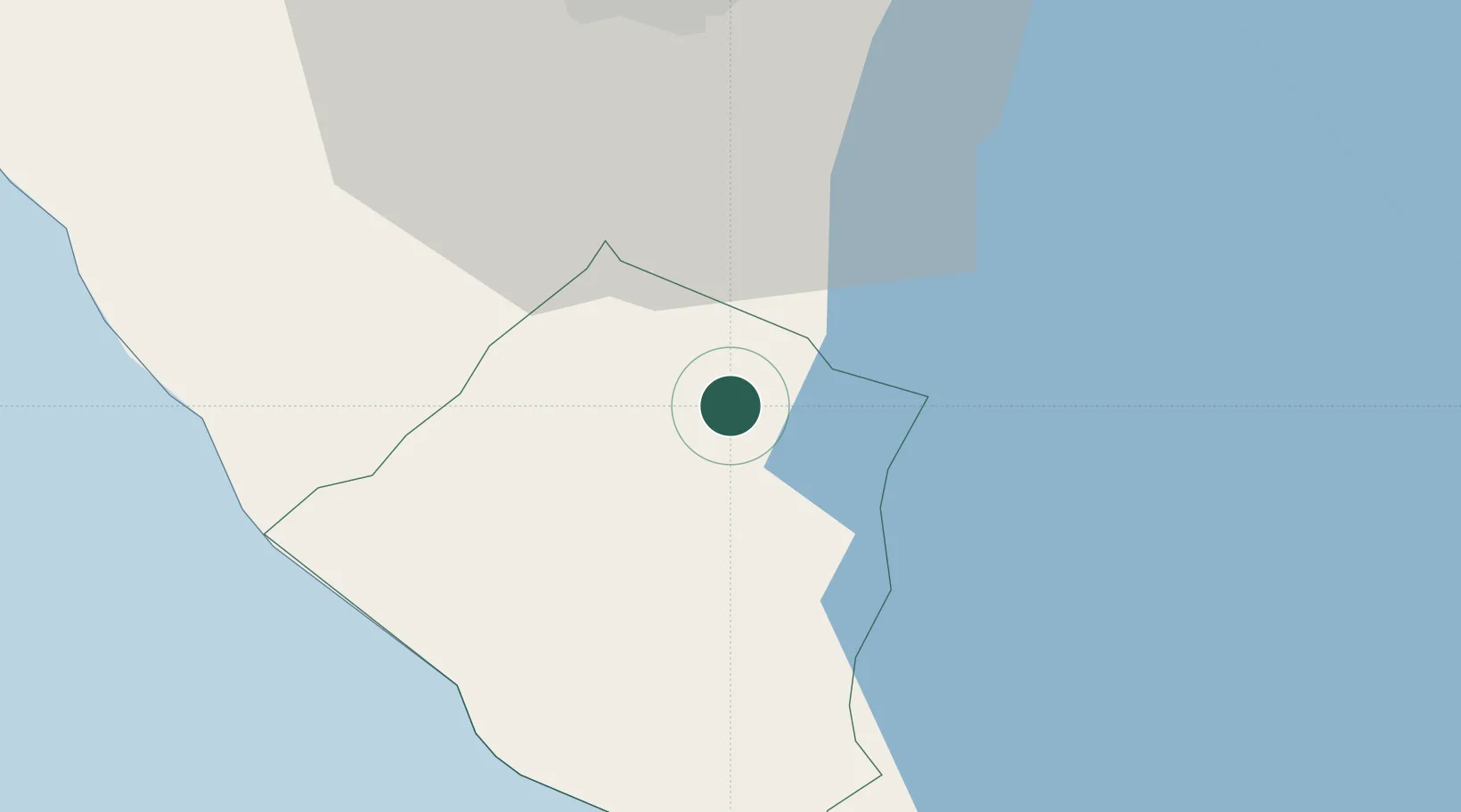
Hub Profile
Place type
Regional capital
Region
Carazo Department
Population
29,507
Time zone
America/Managua
Elevation
551 m
Location
Nearby Logistics Neighbours
Cities
- 1Diriamba4 km
- 2San Rafael del Sur27 km
- 3Masachapa35 km
- 4Tipitapa40 km
- 5Malacatoya52 km
Ports
- 1Puerto Sandino72 km
- 2Corinto127 km
- 3Puerto De Hencan219 km
- 4La Union242 km
- 5Puntarenas256 km
Airports
DatabookThe Record of Consolidated Knowledge
Nicaragua beyond logistics?