UN/LOCODE hub · Nicaragua
NISRS
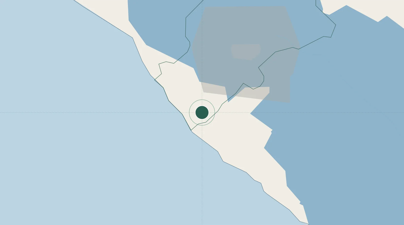
San Rafael del Sur
11.8500°, -86.4500°
29,836
Population
1
Transport functions
Transport Functions
Multimodal
Hub Profile
Place type
Provincial seat
Region
Managua Department
Population
29,836
Time zone
America/Managua
Elevation
126 m
Location
Nearby Logistics Neighbours
Cities
- 1Masachapa10 km
- 2Diriamba24 km
- 3Jinotepe27 km
- 4Puerto Sandino49 km
- 5Tipitapa54 km
Ports
- 1Puerto Sandino51 km
- 2Corinto105 km
- 3Puerto De Hencan204 km
- 4La Union223 km
- 5Puntarenas273 km
Airports
DatabookThe Record of Consolidated Knowledge
Nicaragua beyond logistics?