Free Trade Zone · Nicaragua

Inmuebles e Industrias Agroforestales Xiloá, SA (INNICSA) Active
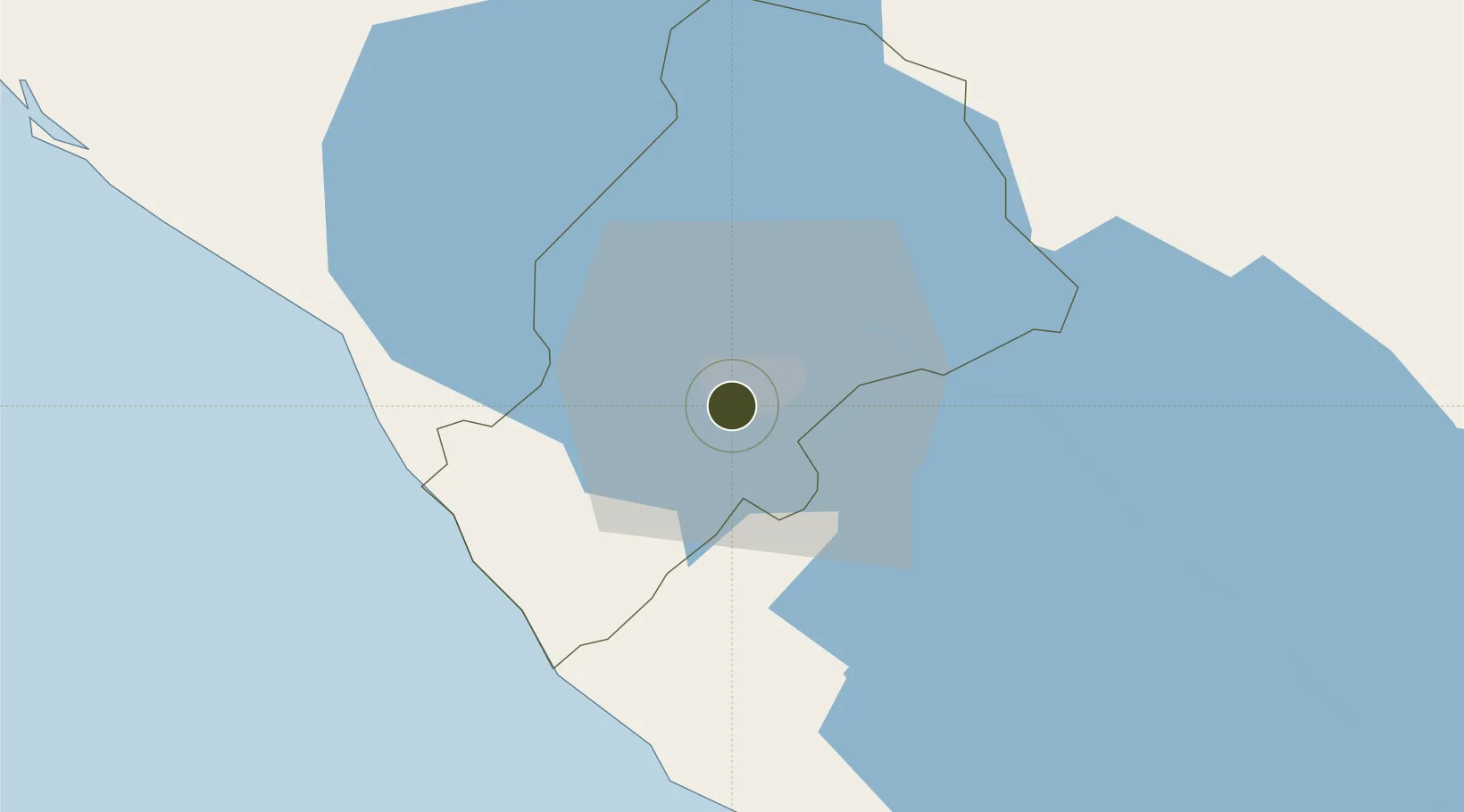
12.1046°, -86.2724°
6 ha
Zone area
54.4 km
Nearest port
12.1 km
Nearest airport

Gateway access

Nearest neighbours — logibook spatial index (haversine) over the source coordinates

Zone profile

Zone type
Free Trade Zone
Open Zone Map
Region
Managua
Open Zone Map
Status
Active
Open Zone Map
Management
Private
Open Zone Map
Operator
INNICSA
Open Zone Map
Legal framework
The Free Trade Zone Law – Law 917
Open Zone Map

Location

Location of ozm-2929
Natural Earth 10m (public domain) · Managua · ozm-2929 · 12.10, -86.27GoogleOSMYandex

Nearby Logistics Neighbours

Ports
  1. 1Puerto Sandino54 km
  2. 2Corinto106 km
  3. 3Puerto De Hencan193 km
  4. 4La Union218 km
  5. 5Bluefields275 km
Nearest neighbours — logibook spatial index (haversine) over the source coordinates
Airports
  1. 1Augusto C. Sandino (Managua) International Airport12 km
  2. 2Omtepe Airport90 km
  3. 3Daniel Oduber Quirós International Airport186 km
  4. 4Upala Airport192 km
  5. 5Los Chiles Airport208 km
Nearest neighbours — logibook spatial index (haversine) over the source coordinates
Cities
  1. 1Tipitapa22 km
  2. 2Diriamba29 km
  3. 3Jinotepe29 km
  4. 4San Benito (Tipitapa)33 km
  5. 5San Rafael del Sur34 km
Nearest neighbours — logibook spatial index (haversine) over the source coordinates
Trade Zones
  1. 1Landterra Sourcing, SA (Technology Park)1 km
  2. 2Desarrollos Industriales Unidos, SA - (DINUSA)3 km
  3. 3Inversiones IDOMAR, SA4 km
  4. 4Franca Portezuelo, SA8 km
  5. 5Parque Industrial Portezuelo8 km
Nearest neighbours — logibook spatial index (haversine) over the source coordinates
DatabookThe Record of Consolidated Knowledge
Nicaragua beyond logistics?
Browse databook

All Sources

Trade ZonesOpen Zone Map
CC BY
Portsthe NGA World Port Index
Public domain (US gov)
AirportsOurAirports
Public domain
LocationsUN/LOCODE
UN/LOCODE — free
← Nicaragua trade zones