Medium airport · Canada
Boundary Bay AirportCZBB
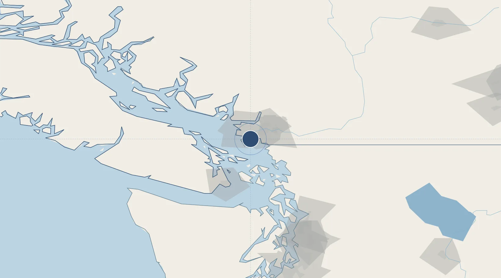
49.0743°, -123.0069°
5,606 ft
Longest runway
2
Runways
6 ft
Elevation
Runway & Layout

Radio Frequencies
ATIS
125.5 MHz
TWR
118.1 MHz
Bay Tower (Inner), to 2000ASL, 15-07z
TWR
127.6 MHz
Bay Tower (Outer), to 2000ASL 15-07Z
GND
124.3 MHz
Unicom
122.95 MHz
Bay Fuel (0700-1930 Local)
A/D
132.3 MHz
VANCOUVER ARR/DEP
MF
118.1 MHz
Bay Traffic, below 2000ASL 07-15Z
TML
125.2 MHz
Vancouver Terminal, above 2000ASL
Runways · 2
| Runway | Dimensions | Surface | True heading | Lit |
|---|---|---|---|---|
| 07/25 | 5,606 × 100ft | Asphalt | 090° | ✓ |
| 13/31 | 5,605 × 100ft | Asphalt | 144° | ✓ |
Airport Specifications
IATA code
YDT
ICAO code
CZBB
Airport class
Medium airport
Scheduled service
No
Runway surface
Asphalt
Served city
Delta
Location
Nearby Logistics Neighbours
Airports
Cities
- 1Delta5 km
- 2Thawwassen9 km
- 3Point Roberts11 km
- 4New Westminster11 km
- 5Robert's Bank12 km
Ports
- 1Steveston14 km
- 2New Westminster15 km
- 3Fraser Mills20 km
- 4Blaine21 km
- 5Vancouver25 km
Trade Zones
- 1FTZ Vancouver Island21 km
- 2FTZ No. 128 Whatcom County44 km
- 3FTZ No. 129 Bellingham50 km
- 4FTZ No. 085 Everett133 km
- 5FTZ No. 005 Seattle167 km
DatabookThe Record of Consolidated Knowledge
Canada beyond logistics?