UN/LOCODE hub · Canada
CAEBY

English Bay

49.2667°, -123.1667°
14,225
Population
2
Transport functions

Transport Functions

Port
Road
UN/LOCODE

Hub Profile

Place type
Urban district
GeoNames
Region
British Columbia
GeoNames
Population
14,225
GeoNames
Time zone
America/Vancouver
GeoNames

Location

Location of CAEBY
Natural Earth 10m (public domain) · British Columbia · CAEBY · 49.27, -123.17GoogleOSMYandex

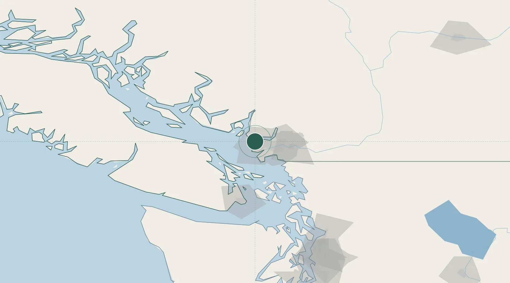
Nearby Logistics Neighbours

Cities
  1. 1Burrard Inlet4 km
  2. 2West Vancouver8 km
  3. 3North Vancouver9 km
  4. 4Bowen Island16 km
  5. 5Vancouver17 km
Nearest neighbours — logibook spatial index (haversine) over the source coordinates
Ports
  1. 1Vancouver4 km
  2. 2Steveston15 km
  3. 3New Westminster20 km
  4. 4Port Moody21 km
  5. 5Fraser Mills23 km
Nearest neighbours — logibook spatial index (haversine) over the source coordinates
Airports
  1. 1Vancouver Harbour Water Aerodrome5 km
  2. 2Harbour (Public) Heliport5 km
  3. 3Vancouver International Airport8 km
  4. 4Vancouver International Seaplane Base10 km
  5. 5Boundary Bay Airport24 km
Nearest neighbours — logibook spatial index (haversine) over the source coordinates
Trade Zones
  1. 1FTZ Vancouver Island4 km
  2. 2FTZ No. 128 Whatcom County68 km
  3. 3FTZ No. 129 Bellingham74 km
  4. 4FTZ No. 085 Everett157 km
  5. 5FTZ No. 005 Seattle191 km
Nearest neighbours — logibook spatial index (haversine) over the source coordinates
DatabookThe Record of Consolidated Knowledge
Canada beyond logistics?
Browse databook

All Sources

LocationsUN/LOCODE
UN/LOCODE — free
LocationsGeoNames
CC BY 4.0
Portsthe NGA World Port Index
Public domain (US gov)
AirportsOurAirports
Public domain
Trade Zonesthe World Bank SEZ database
CC BY 4.0
Trade ZonesOpen Zone Map
CC BY
← Canada locations