UN/LOCODE hub · Canada
CAVAC
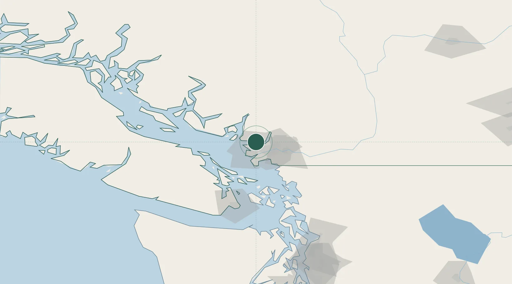
North Vancouver
49.3167°, -123.0667°
88,168
Population
3
Transport functions
Transport Functions
Rail
Road
Airport
Hub Profile
Place type
Populated place
Region
British Columbia
Population
88,168
Time zone
America/Vancouver
Elevation
68 m
Location
Nearby Logistics Neighbours
Cities
- 1West Vancouver6 km
- 2Burrard Inlet9 km
- 3English Bay9 km
- 4Indian Arm16 km
- 5Vancouver17 km
Ports
- 1Vancouver5 km
- 2Port Moody14 km
- 3New Westminster17 km
- 4Fraser Mills18 km
- 5Steveston22 km
Airports
Trade Zones
- 1FTZ Vancouver Island9 km
- 2FTZ No. 128 Whatcom County68 km
- 3FTZ No. 129 Bellingham74 km
- 4FTZ No. 085 Everett159 km
- 5FTZ No. 005 Seattle194 km
DatabookThe Record of Consolidated Knowledge
Canada beyond logistics?