Runway & Layout

Airport Specifications
ICAO code
CAM9
Airport class
Seaplane base
Scheduled service
Yes
Served city
Vancouver
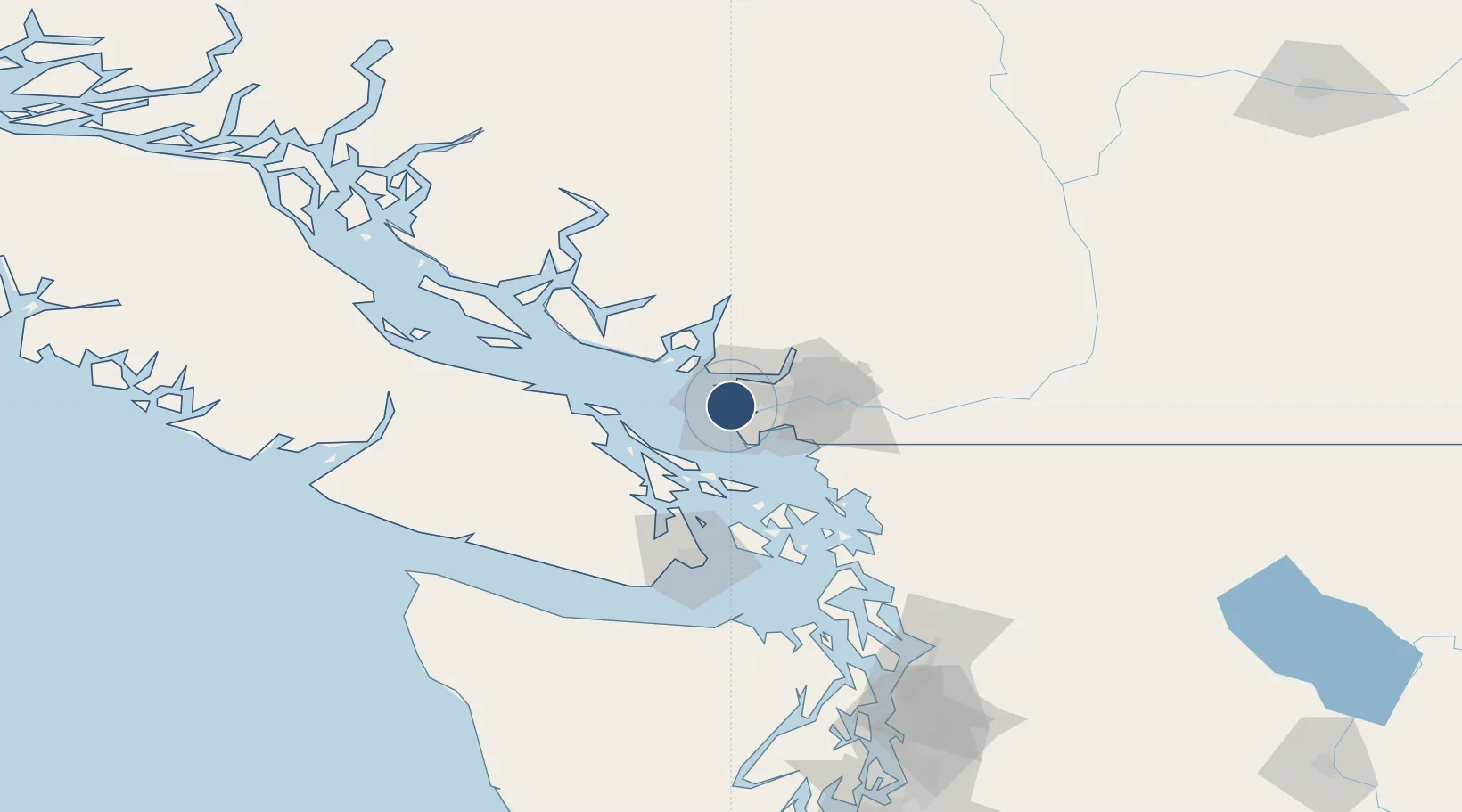
Location
Nearby Logistics Neighbours
Airports
Cities
- 1English Bay10 km
- 2Delta12 km
- 3Robert's Bank12 km
- 4Burrard Inlet14 km
- 5Vancouver14 km
Ports
- 1Steveston5 km
- 2Vancouver12 km
- 3New Westminster19 km
- 4Fraser Mills23 km
- 5Port Moody24 km
Trade Zones
- 1FTZ Vancouver Island9 km
- 2FTZ No. 128 Whatcom County61 km
- 3FTZ No. 129 Bellingham66 km
- 4FTZ No. 085 Everett148 km
- 5FTZ No. 005 Seattle181 km
DatabookThe Record of Consolidated Knowledge
Canada beyond logistics?