UN/LOCODE hub · Canada
CAVAN
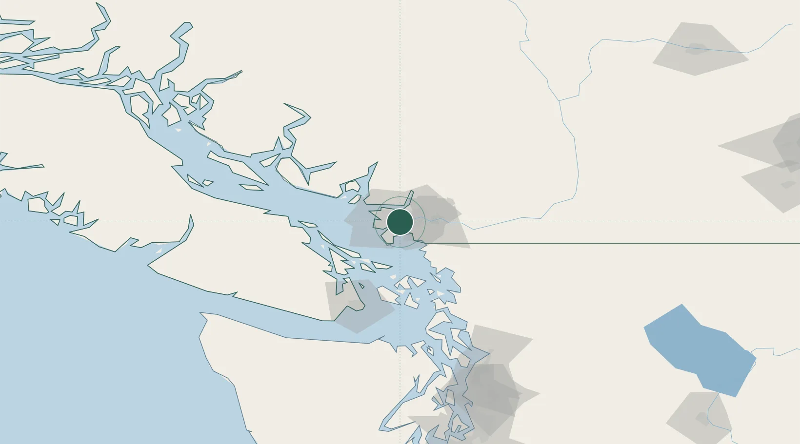
Vancouver
49.1791°, -122.9750°
662,248
Population
3
Transport functions
4
Container terminals
Transport Functions
Port
Airport
Postal
Hub Profile
Place type
Populated place
Region
British Columbia
Population
662,248
Time zone
America/Vancouver
Elevation
70 m
Logistics facilities
37
Container terminals
4
Location
Nearby Logistics Neighbours
Cities
- 1New Westminster3 km
- 2Fraser-Surrey Docks4 km
- 3Surrey6 km
- 4Delta8 km
- 5Conquitlam13 km
Ports
- 1New Westminster5 km
- 2Fraser Mills10 km
- 3Port Moody13 km
- 4Steveston16 km
- 5Port Coquitlam16 km
Airports
Trade Zones
- 1FTZ Vancouver Island13 km
- 2FTZ No. 128 Whatcom County51 km
- 3FTZ No. 129 Bellingham57 km
- 4FTZ No. 085 Everett142 km
- 5FTZ No. 005 Seattle178 km
DatabookThe Record of Consolidated Knowledge
Canada beyond logistics?