Channel & Berth Profile
Pilotage, Tugs & Services
Pilotage compulsoryYES
Pilotage availableYES
Pilotage advisableYES
Tug assistanceYES
Shore powerYES
Potable waterYES
Diesel bunkersYES
MedicalYES
Garbage disposalYES
Facilities & Capabilities
Container—
Ro-Ro—
Liquid bulk—
Dry bulk—
Oil terminal—
Break bulk—
Dry dockNO
RepairsNO
BunkeringYES
Rail linkYES
Dangerous cargo—
ISPS security—
Harbour Specifications
Harbour size
Very Small
Harbour type
Coastal (Natural)
Shelter
Excellent
Water body
Alaska-Canada coastal waters; North Pacific Ocean
Tidal range
3 m
Overhead limit
Yes
Pilotage
Yes
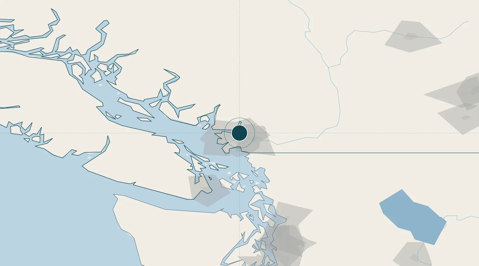
Location
Nearby Logistics Neighbours
Ports
- 1Fraser Mills7 km
- 2New Westminster10 km
- 3Port Coquitlam10 km
- 4Vancouver17 km
- 5Steveston27 km
Cities
- 1Conquitlam7 km
- 2Indian Arm9 km
- 3Surrey11 km
- 4Fraser-Surrey Docks12 km
- 5Vancouver13 km
Airports
Trade Zones
- 1FTZ Vancouver Island17 km
- 2FTZ No. 128 Whatcom County58 km
- 3FTZ No. 129 Bellingham64 km
- 4FTZ No. 085 Everett151 km
- 5FTZ No. 005 Seattle188 km
DatabookThe Record of Consolidated Knowledge
Canada beyond logistics?