UN/LOCODE hub · Canada
CAWVR
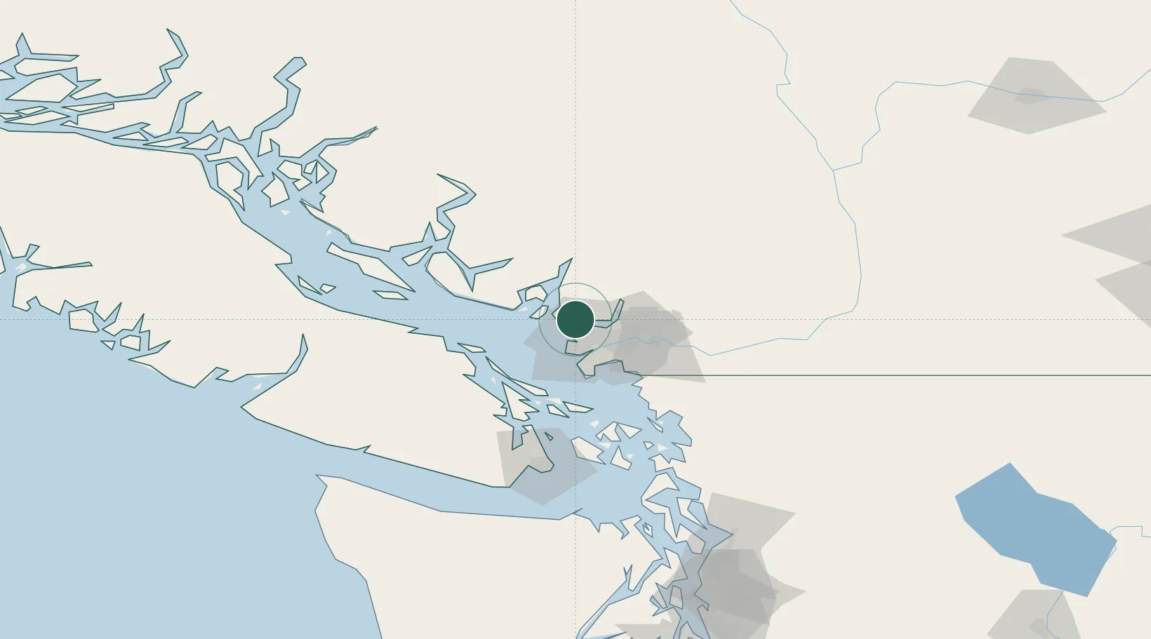
West Vancouver
49.3333°, -123.1500°
45,487
Population
3
Transport functions
Transport Functions
Port
Rail
Road
Hub Profile
Place type
Populated place
Region
British Columbia
Population
45,487
Time zone
America/Vancouver
Elevation
26 m
Location
Nearby Logistics Neighbours
Cities
- 1Burrard Inlet4 km
- 2North Vancouver6 km
- 3English Bay8 km
- 4Bowen Island14 km
- 5Indian Arm21 km
Ports
- 1Vancouver6 km
- 2Port Moody20 km
- 3Steveston22 km
- 4New Westminster23 km
- 5Fraser Mills25 km
Airports
Trade Zones
- 1FTZ Vancouver Island10 km
- 2FTZ No. 128 Whatcom County73 km
- 3FTZ No. 129 Bellingham79 km
- 4FTZ No. 085 Everett163 km
- 5FTZ No. 005 Seattle198 km
DatabookThe Record of Consolidated Knowledge
Canada beyond logistics?