Runway & Layout

Airport Specifications
ICAO code
CBC7
Airport class
Heliport
Scheduled service
Yes
Served city
Vancouver
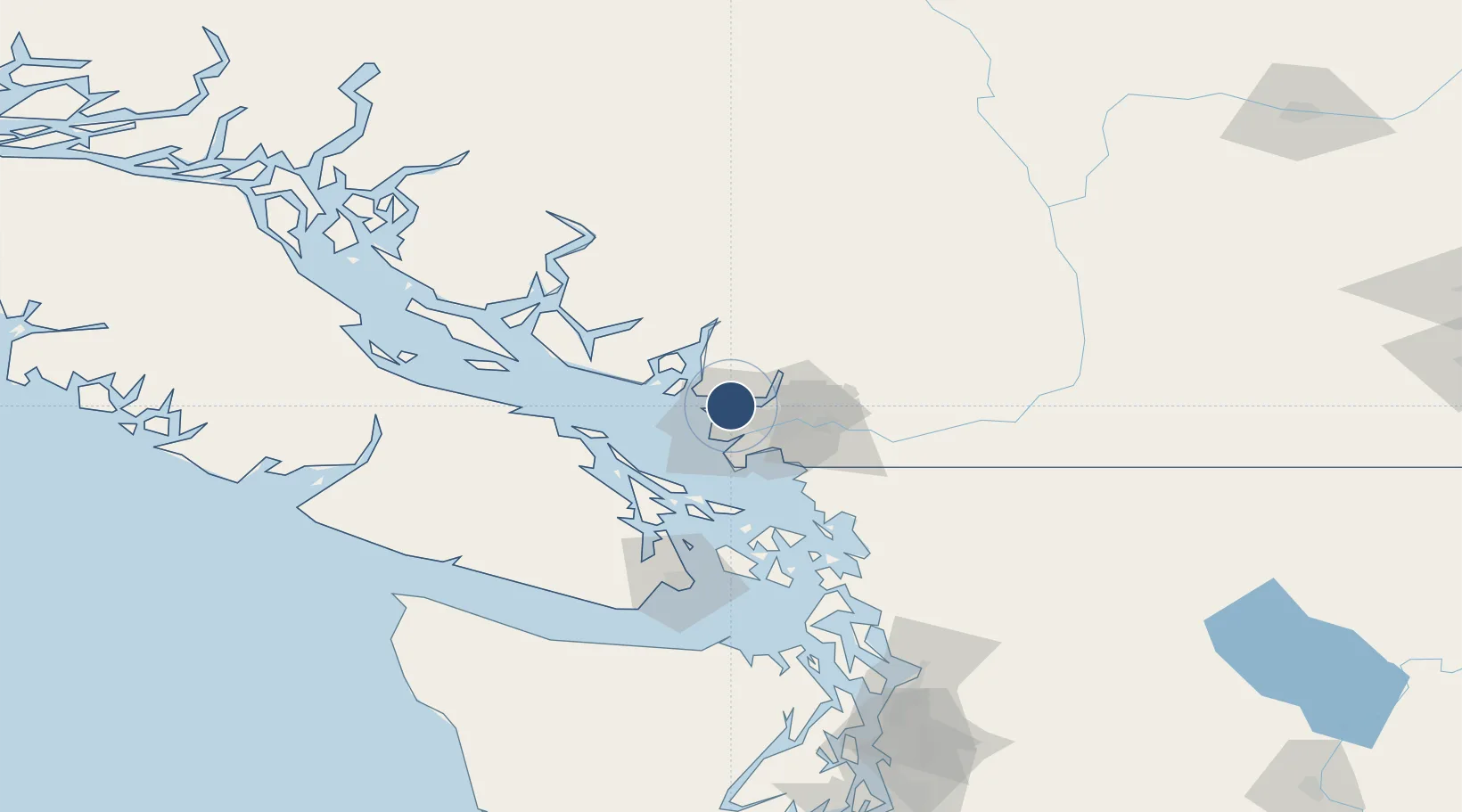
Location
Nearby Logistics Neighbours
Airports
Cities
- 1North Vancouver4 km
- 2English Bay5 km
- 3Burrard Inlet6 km
- 4West Vancouver6 km
- 5Vancouver15 km
Ports
- 1Vancouver1 km
- 2Port Moody16 km
- 3New Westminster17 km
- 4Steveston18 km
- 5Fraser Mills19 km
Trade Zones
- 1FTZ Vancouver Island5 km
- 2FTZ No. 128 Whatcom County67 km
- 3FTZ No. 129 Bellingham73 km
- 4FTZ No. 085 Everett157 km
- 5FTZ No. 005 Seattle192 km
DatabookThe Record of Consolidated Knowledge
Canada beyond logistics?