Large airport · Canada
Vancouver International AirportCYVR
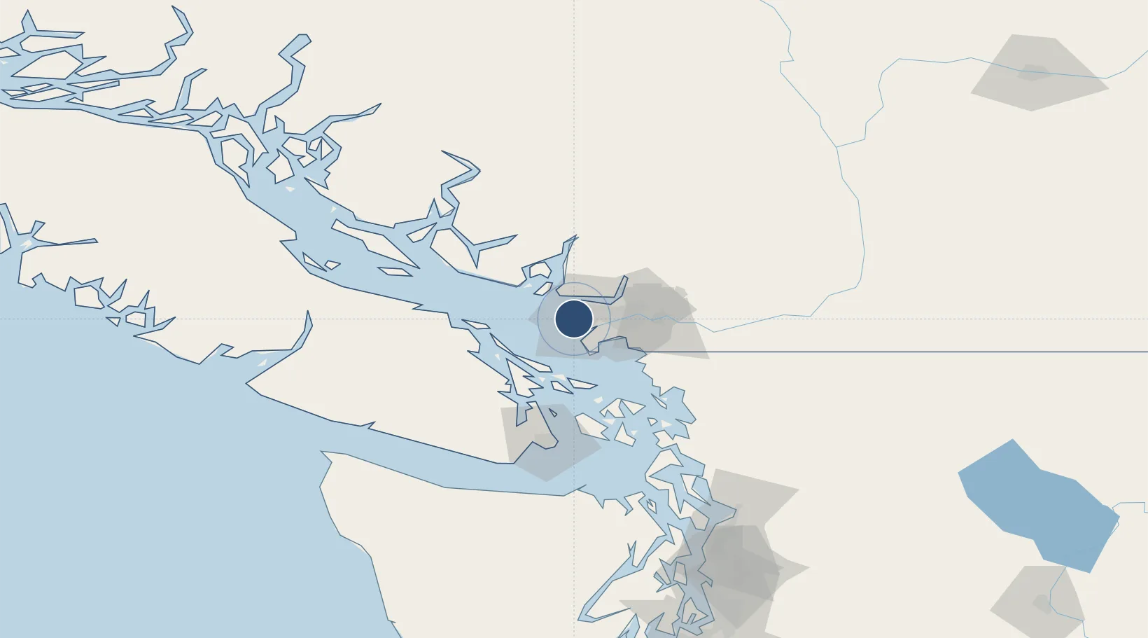
49.1939°, -123.1840°
11,500 ft
Longest runway
3
Runways
14 ft
Elevation
Runway & Layout

Radio Frequencies
ATIS
124.6 MHz
TWR
23.66 MHz
TWR
118.7 MHz
GND
121.7 MHz
CLD
121.4 MHz
CLNC DEL
APP
128.6 MHz
DEP
126.125 MHz
RCO
123.15 MHz
PACIFIC RDO
Navaids
IMK DME Vancouver 111.10 MHz
IRD DME Vancouver 111.90 MHz
IVR DME Vancouver 109.50 MHz
VR NDB Vancouver 266 kHz
WC NDB White Rock 332 kHz
YVR VORTAC Vancouver 115.90 MHz
ZVR NDB Sea Island 368 kHz
ZXE NDB Barnes 356 kHz
Runways · 3
| Runway | Dimensions | Surface | True heading | Lit |
|---|---|---|---|---|
| 08R/26L | 11,500 × 200ft | Asphalt | 100° | ✓ |
| 08L/26R | 9,940 × 200ft | Concrete | 100° | ✓ |
| 13/31 | 7,300 × 200ft | Concrete | 142° | ✓ |
Airport Specifications
IATA code
YVR
ICAO code
CYVR
Airport class
Large airport
Scheduled service
Yes
Runway surface
Asphalt
Served city
Vancouver
Location
Nearby Logistics Neighbours
Airports
Cities
- 1English Bay8 km
- 2Burrard Inlet12 km
- 3Delta14 km
- 4Robert's Bank14 km
- 5Vancouver15 km
Ports
- 1Steveston7 km
- 2Vancouver11 km
- 3New Westminster19 km
- 4Port Moody24 km
- 5Fraser Mills24 km
Trade Zones
- 1FTZ Vancouver Island8 km
- 2FTZ No. 128 Whatcom County63 km
- 3FTZ No. 129 Bellingham68 km
- 4FTZ No. 085 Everett150 km
- 5FTZ No. 005 Seattle183 km
DatabookThe Record of Consolidated Knowledge
Canada beyond logistics?