Seaport · Canada
VancouverCAVAN
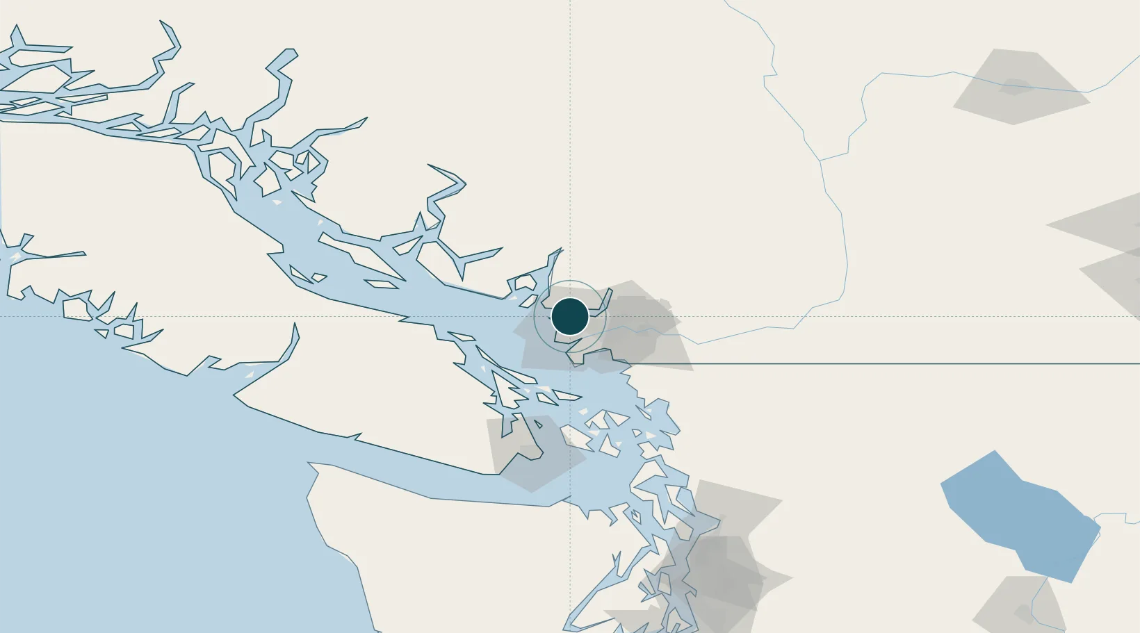
49.2833°, -123.1167°
23.2 m
Channel depth
4
Container terminals
207.9
Port liner connectivity
Channel & Berth Profile
Pilotage, Tugs & Services
Pilotage compulsoryYES
Pilotage availableYES
Pilotage advisableYES
Tug assistanceYES
Salvage tugsYES
Shore powerYES
Potable waterYES
Diesel bunkersYES
MedicalYES
Garbage disposalYES
Facilities & Capabilities
Container—
Ro-Ro—
Liquid bulk—
Dry bulk—
Oil terminal—
Break bulk—
Dry dockNO
RepairsNO
BunkeringYES
Rail linkYES
Dangerous cargo—
ISPS security—
Harbour Specifications
Harbour size
Large
Harbour type
Coastal (Natural)
Shelter
Excellent
Water body
Alaska-Canada coastal waters; North Pacific Ocean
Tidal range
4 m
Overhead limit
Yes
Pilotage
Yes
Liner Connectivity
207.9
PLSCI
Port Liner Shipping Connectivity Index for Vancouver, as published by UNCTAD for the latest available quarter. Higher values indicate stronger scheduled liner-shipping integration.
Shown relative to the highest per-port PLSCI in the dataset (1,657.9).
Location
Container Terminals · 4
CENTENNIAL TERMINAL (CENTERM)
CTM DP WORLD VANCOUVER
GCT DELTAPORT
DLT GCT CANADA LIMITED PARTNERSHIP
FRASER SURREY DOCKS
FSD FRASER SURREY DOCKS LIMITED PARTNERSHIP
GCT VANTERM
VTM GCT CANADA LIMITED PARTNERSHIP
Nearby Logistics Neighbours
Ports
- 1Port Moody17 km
- 2New Westminster17 km
- 3Steveston17 km
- 4Fraser Mills20 km
- 5Port Coquitlam26 km
Cities
- 1English Bay4 km
- 2Burrard Inlet5 km
- 3North Vancouver5 km
- 4West Vancouver6 km
- 5Bowen Island18 km
Airports
Trade Zones
- 1FTZ Vancouver Island4 km
- 2FTZ No. 128 Whatcom County67 km
- 3FTZ No. 129 Bellingham73 km
- 4FTZ No. 085 Everett157 km
- 5FTZ No. 005 Seattle192 km
DatabookThe Record of Consolidated Knowledge
Canada beyond logistics?